


Events in Omaha this November

Table of Contents

Can you believe it’s already November? Just a few more days and the election will be over! If you’re looking events in Omaha this November then you’ll want to take a look at all of these family friendly events taking place this month in and around Omaha.

Events in Omaha this November

Anime NebrasKon
When: November 4th – 6th, 2016
Where: 12520 Westport Parkway
La Vista, NE 68128

Anime NebrasKon is a Japanese Animation and pop culture convention that is being held at the Omaha La Vista Hotel & Conference Center.

Autumn Festival, An Arts and Crafts Affair
When: November 3rd – 6th, 2016
Where: Ralston Arena
7300 Q Street
Ralston, NE

Hundreds of the nation’s finest artists and crafters display and sell their handcrafted works at this festival consistently ranked in the Top 100 Shows in the Country by Sunshine Artist magazine. Enjoy entertainment, hourly gift certificate drawings, plenty of food and drink, lots of family fun, and free parking!

Fall Chrysanthemum Show
When: Now through November 18th, 2016
Where: Lauritzen Gardens
100 Bancroft St.
Omaha, NE

Experience a fascinating fabrication of flowers at the garden’s annual fall chrysanthemum show. Bold mums combine with vibrant colors, rich fabrics, diverse textures and other exotic design elements- representative of the storied Japanese culture.

Joslyn Castle Holiday Historic Home Tour & Boutique
When: November 11th and 12th, 2016
Where: Joslyn Castle
3902 Davenport Street
Omaha, NE

Join us for the third annual Holiday Historic Home Tour & Boutique on December 4 and 5.  Tour two historic homes, the Joslyn Castle, and St. Barnabas Church.  Inside the Joslyn Castle, throughout the tour, there will be a boutique allowing guests to do a little holiday shopping!  Vendors include many well-known local favorites and some from out-of-state.  The tour will run from 10 a.m. to 5 p.m. each day.  A complimentary shuttle, courtesy of Creighton University, will be available to transport tour attendees between the tour sites.  Parking will be available at Joslyn Castle and at St. Cecilia Cathedral.

Omaha Holiday Expo
When: November 12th, 2016
Where: Baxter Arena
2425 S 67th St.
Omaha, NE

The Omaha Holiday Expo is coming to the Baxter Arena on November 12, 2016! Come spend this Holiday Season      with your family shopping Local Omaha exhibitors! Featuring Holiday Decor, Endless Shopping, Beauty Bar, Delicious Food, $1,000’s in Free Prizes & Santa!

Holiday Lights Festival
When: November 24th, 2016
Where: 14th & Farnam Streets
Omaha, NE

See hundreds of thousands of lights dazzle downtown throughout the holiday season.

Christmas at Union Station
When: November 25th, 2016
Where: Durham Museum
801 S. 10th St.
Omaha, NE

Come celebrate one of the region’s most cherished traditions, Christmas at Union Station! The holidays are always a magical time at The Durham Museum. From the area’s largest indoor Christmas tree, holiday concerts and Santa himself, you won’t want to miss all of the festive family fun.

Holiday Poinsettia Show
When: November 25th – January 4th
Where: Lauritzen Gardens
100 Bancroft St.
Omaha, NE

Thousands of poinsettias bursting with rich, vibrant color fill the floral display hall in a glowing tribute to the holidays during the spectacular holiday poinsettia show. In the center of it all, a magnificent and majestic 20-foot-tall poinsettia tree stands tall. Surrounded by a cascade of twinkling white lights, glittering ornaments and the whir and whistle of model garden trains, this show evokes the warmest greetings of goodwill and cheer.

Milk and Cookies with Santa
When: November 26th, 2016
Where: Omaha Children’s Museum
500 S 20th Street
Omaha, NE

Join us for an after-hours special night for families! Milk and Cookies with Santa is a magical experience that includes our Santa Show, holiday crafts, milk & hot chocolate, and cookies with Santa and his special friends. Children get the chance to talk with Santa one-on-one.  And of course there will be an opportunity to play in the museum! Tickets are limited, so register today!

About Author
Denny Van Moorleghem
Denny started as a trim carpenter in 1969 and worked his way up through the Regency Homes operation as a Draftsman/Designer, Superintendent, Customer Service Representative, Estimator, Project Manager, General Manager and now serves as the President. He is the Designated Real Estate Broker for the company. He is active in the Metropolitan Omaha Homebuilders Association as well as the State of Nebraska Homebuilders Association and the National Association of Homebuilders. He has been voted Omaha Builder of the Year, State of Nebraska Builder of the Year, Developer of the Year and Best Marketing Director.
Share:

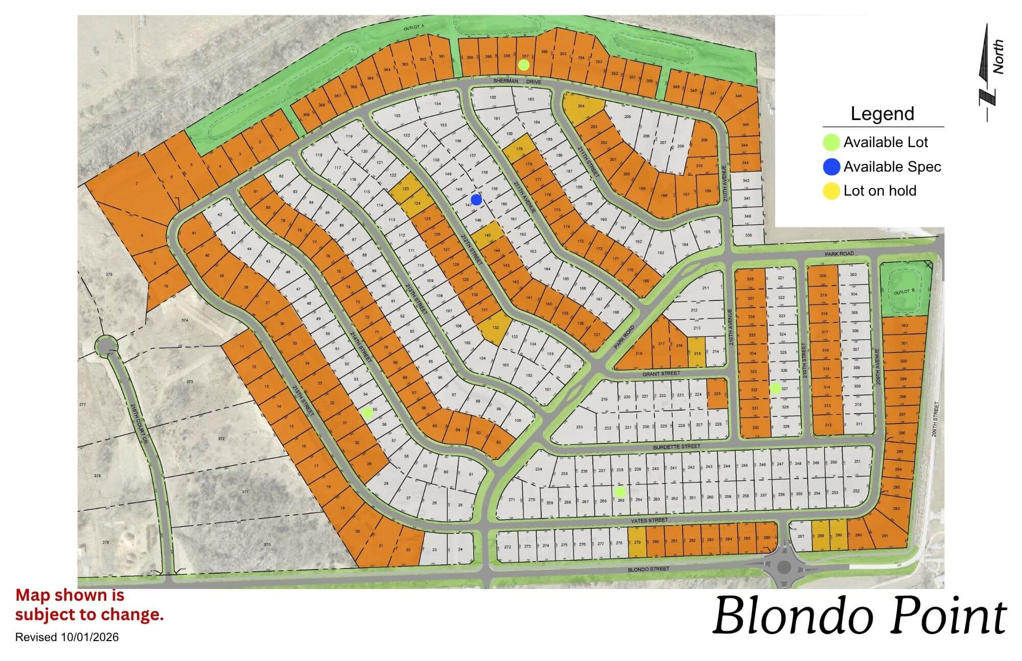
Blondo Point

Blondo Point residential development map showing street layout and lot divisions in orange and white
Click to enlarge

Location: 214th St & Blondo St

School District: Elkhorn

Amenities:

  • 1 Minutes from the West Dodge Expressway

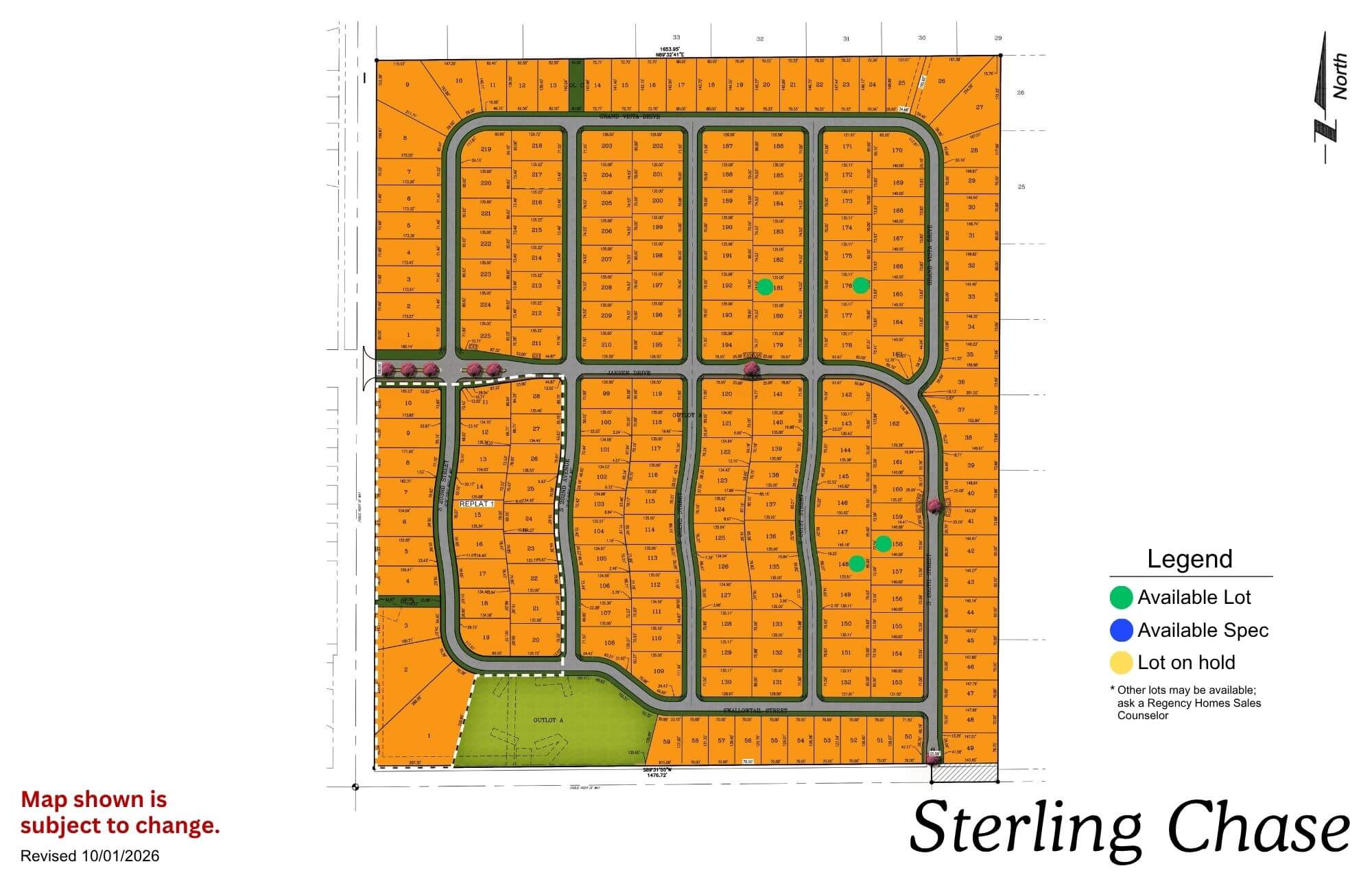
Sterling Chase

Sterling Chase residential subdivision map showing street layout and lot divisions in orange with green space areas
Click to enlarge
Sterling Chase logo featuring a silhouette of a running horse with circular design elements and text

Location: 204th & Capehart Rd

School District: Gretna

Amenities:

  • Across from the new YMCA
  • Gretna Crossing nature park
  • Dog park

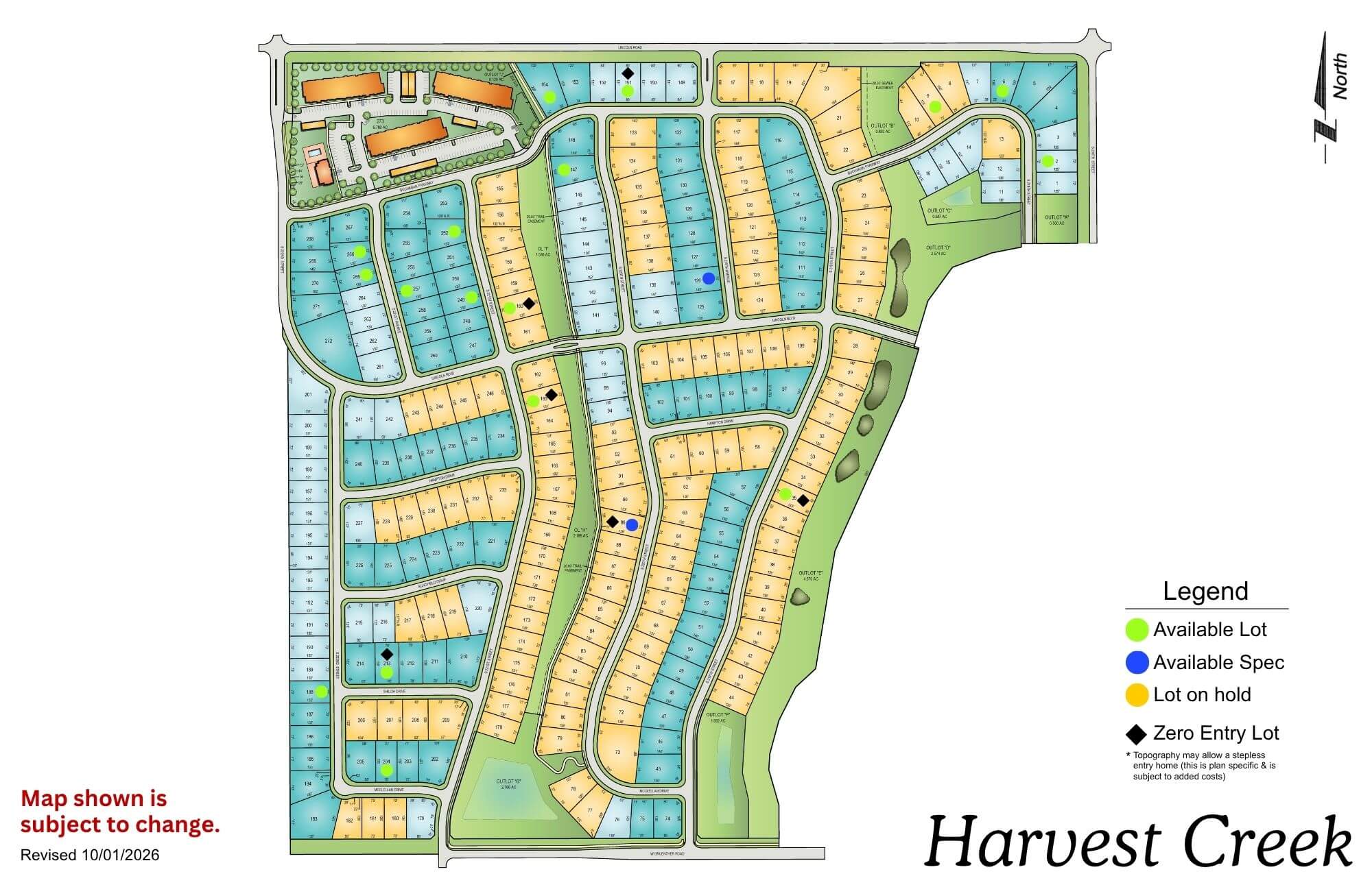
Harvest Creek

Harvest Creek residential development map showing street layout, lot divisions, and green spaces with legend
Click to enlarge
flagged_for_blc_image_alt_generator

Location: 216th & Lincoln Rd

School District: Gretna

Amenities:

  • Green Space

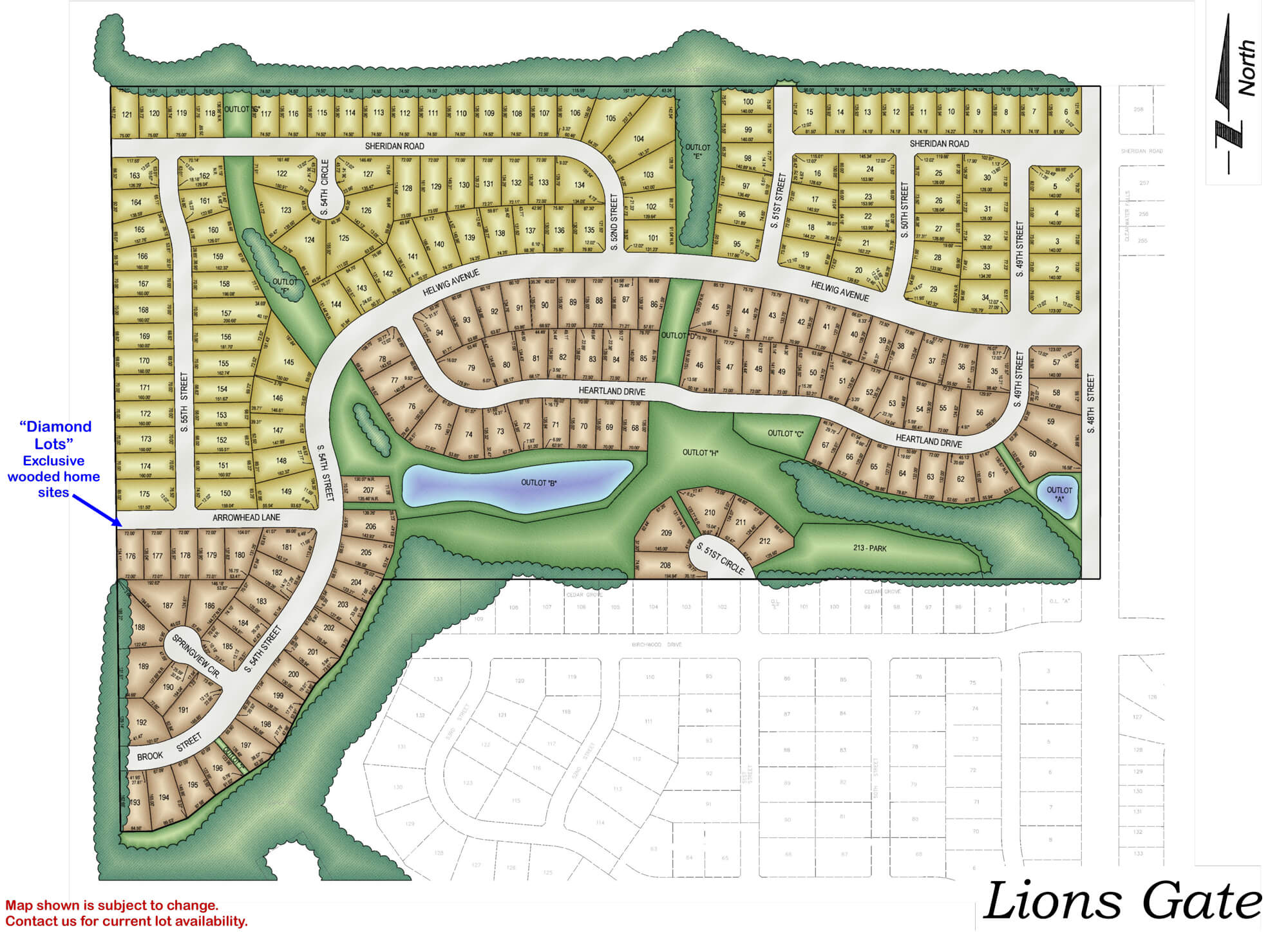
Lions Gate

Detailed neighborhood map showing Lions Gate residential development with streets, house lots, green spaces, and water
Click to enlarge
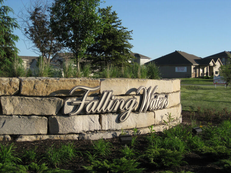
Falling Water residential community entrance sign with stone base and houses visible in background

Location: 198th & Harrison St

School District: Gretna

Amenities:

  • Close to easy access traffic ways, established neighborhood, close day care centers, and several places of worship.
  • Oversized lots – many 82’ wide lots.
  • Minutes to West Dodge traffic way, the 180th & Center shopping mile, the I-80 interstate system, and to grocery and other shopping services.

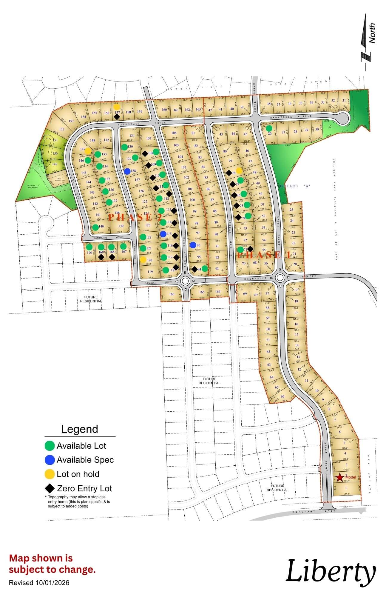
Liberty

Liberty subdivision map showing planned residential lots, roads, and green spaces with north orientation
Click to enlarge
flagged_for_blc_image_alt_generator

Location: 43rd & Capehart Rd

School District: Bellevue

Amenities:

  • Treed and nature reserve lots available
  • 11 minutes from Shadow Lake Towne Center
  • 15 minutes from Offutt Air Force Base

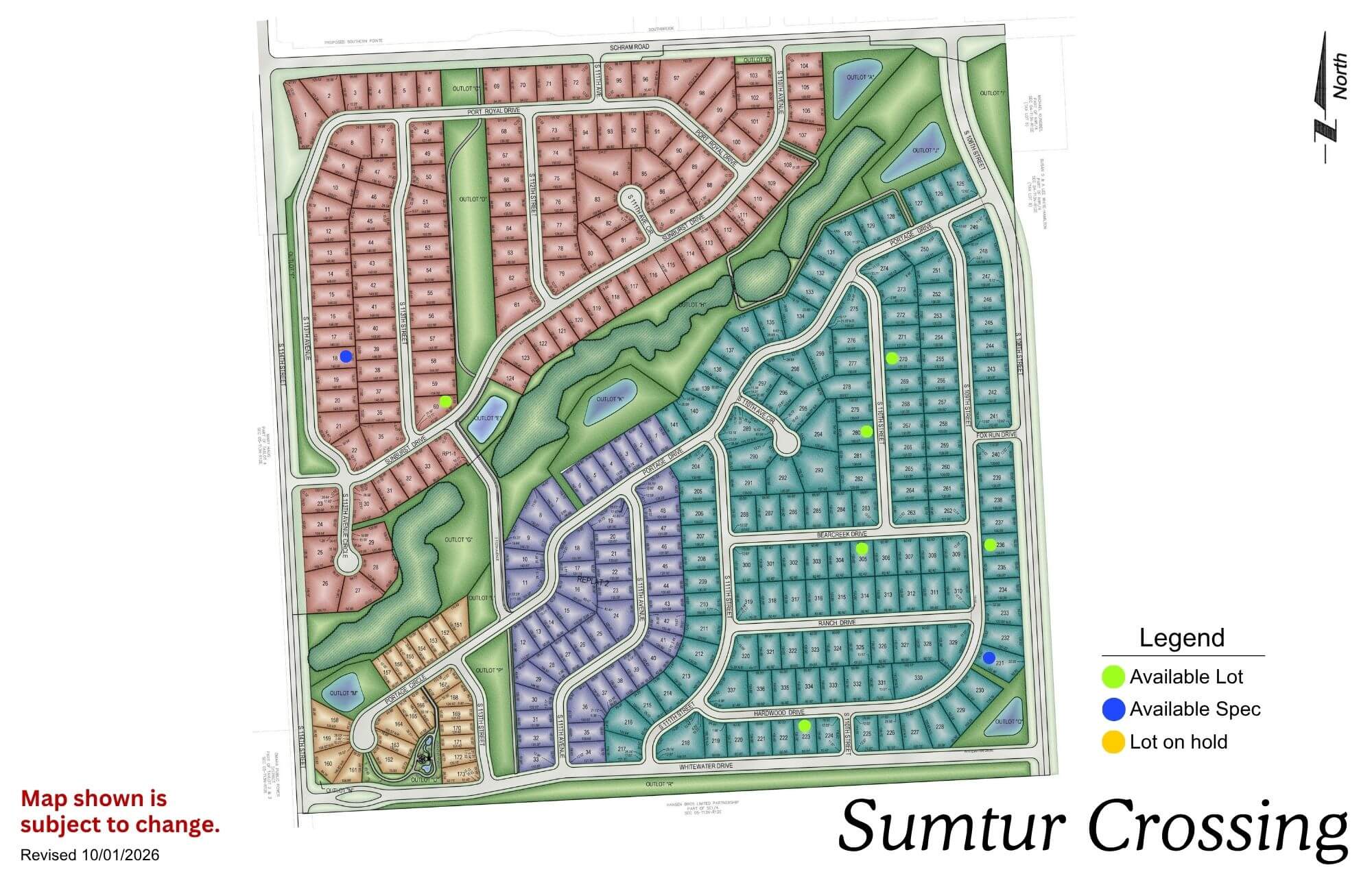
Sumtur Crossing

Sumtur Crossing neighborhood map showing residential streets, parks, and green spaces in a planned community layout
Click to enlarge
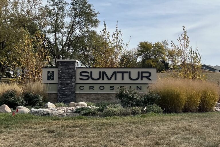
Sumtur Crossing entrance sign with landscaping and trees in background

Location: 114th & Schramm Rd

School District: Papillion La Vista

Amenities:

  • Close to Sumtur Amphitheater (concerts, movies and plays)
  • Adjacent to the 450 acre Walnut Creek Recreation area with its 105 acre lake (hiking, biking and fishing)

Granite Creek

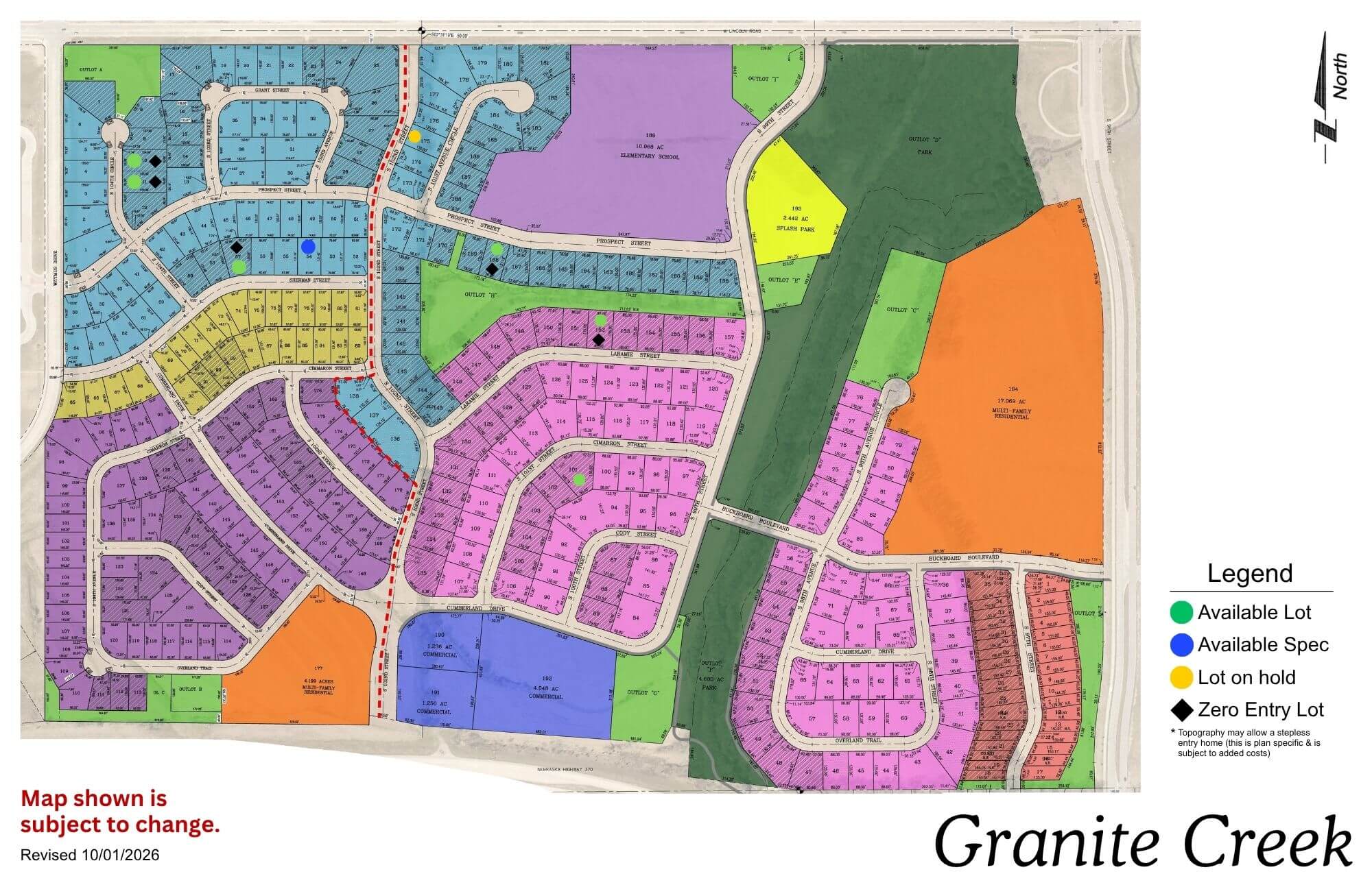
Granite Creek community map showing colored residential sections, streets, and amenities with legend
Click to enlarge
Granite Creek logo with sun, evergreen trees, and blue sky sunset background

Location: 108th & Lincoln Rd

School District: Papillion La Vista

Amenities:

  • Adjacent to the proposed NRD lake area
  • Close to Sumtur Amphitheater (concerts, movies and plays)
  • Close to the 450 acre Walnut Creek Recreation area with its 105 acre lake (hiking, biking and fishing)
  • Close to Werner Ball Park – Home of the Omaha Storm Chasers

Founders Ridge

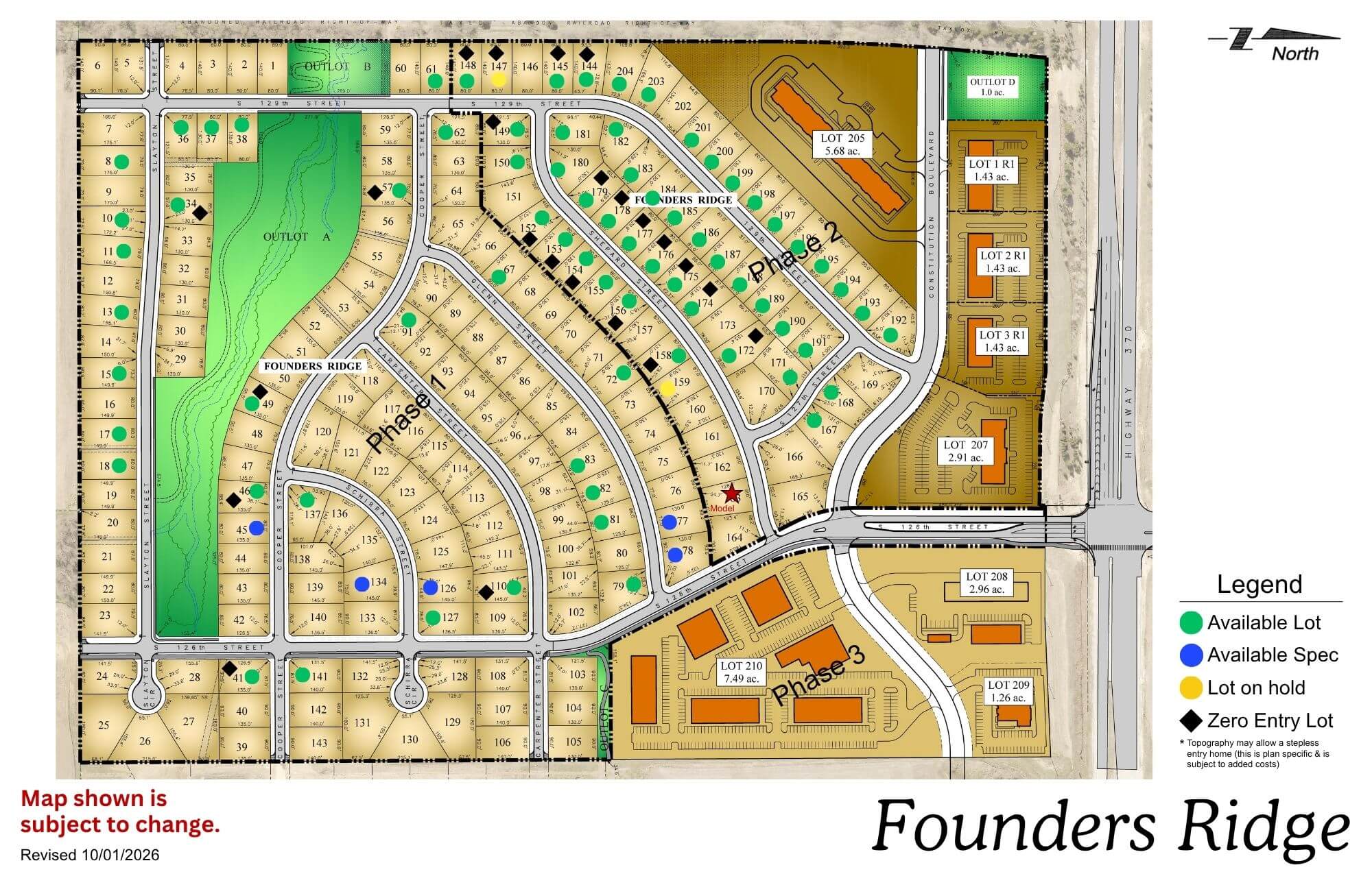
Founders Ridge residential community map showing street layout, lots, and amenities including green spaces and legend
Click to enlarge
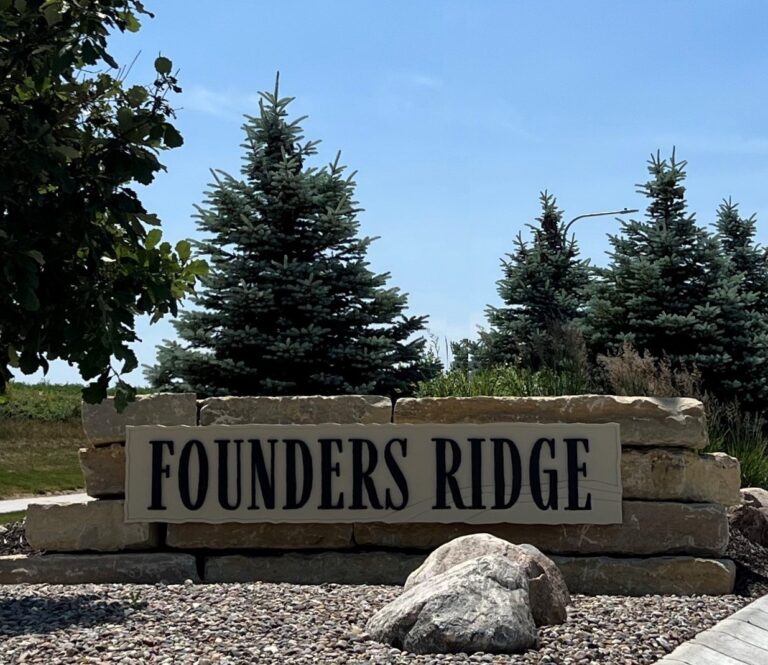
Wooden Founders Ridge sign with evergreen trees and landscaping in background

Location: 126th & Hwy 370

School District: Papillion La Vista

Amenities:

  • Adjacent to Prairie Queen Lake and Recreation Area-hiking, biking and fishing
  • Adjacent to Werner Ball Park – Home of the Omaha Storm Chasers
  • Minutes to the I-80 Interstate system
  • Enjoy the Sumtur Amphitheater for concerts, movies and plays, the Shadow Lake Towne Center shopping, and the Walnut Creek Recreation and lake area for hiking, biking and fishing

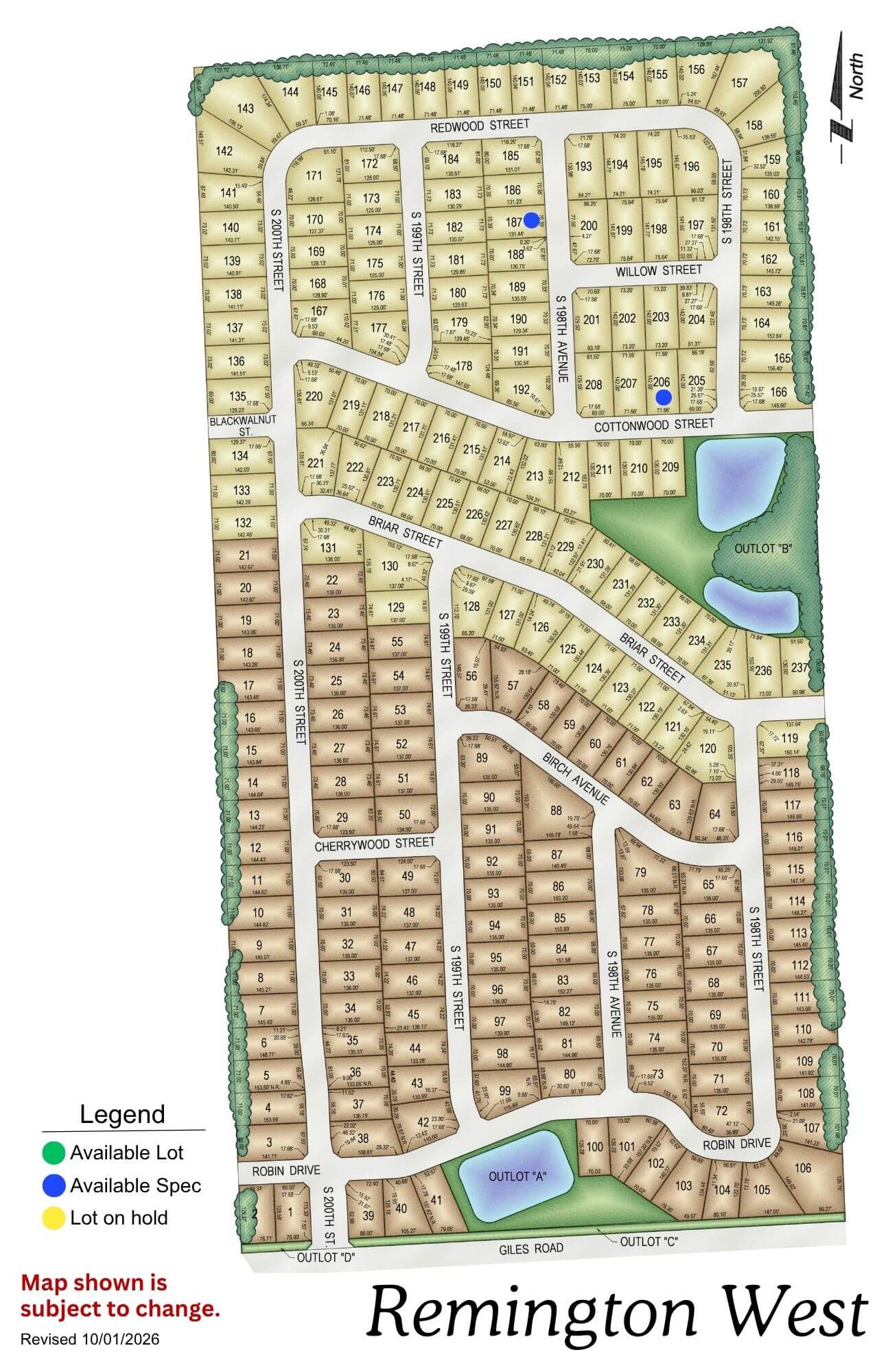
Remington West

Remington West residential subdivision map showing street layout, lot divisions, and amenities including parks and water
Click to enlarge
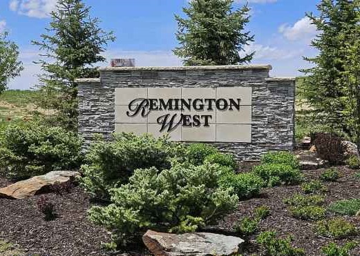
Remington West stone entrance sign with landscaping and evergreen trees

Location: West of Remington Ridge (South of Harrison on 192nd St)

School District: Gretna

Amenities:

  • Trails and Nature reserve

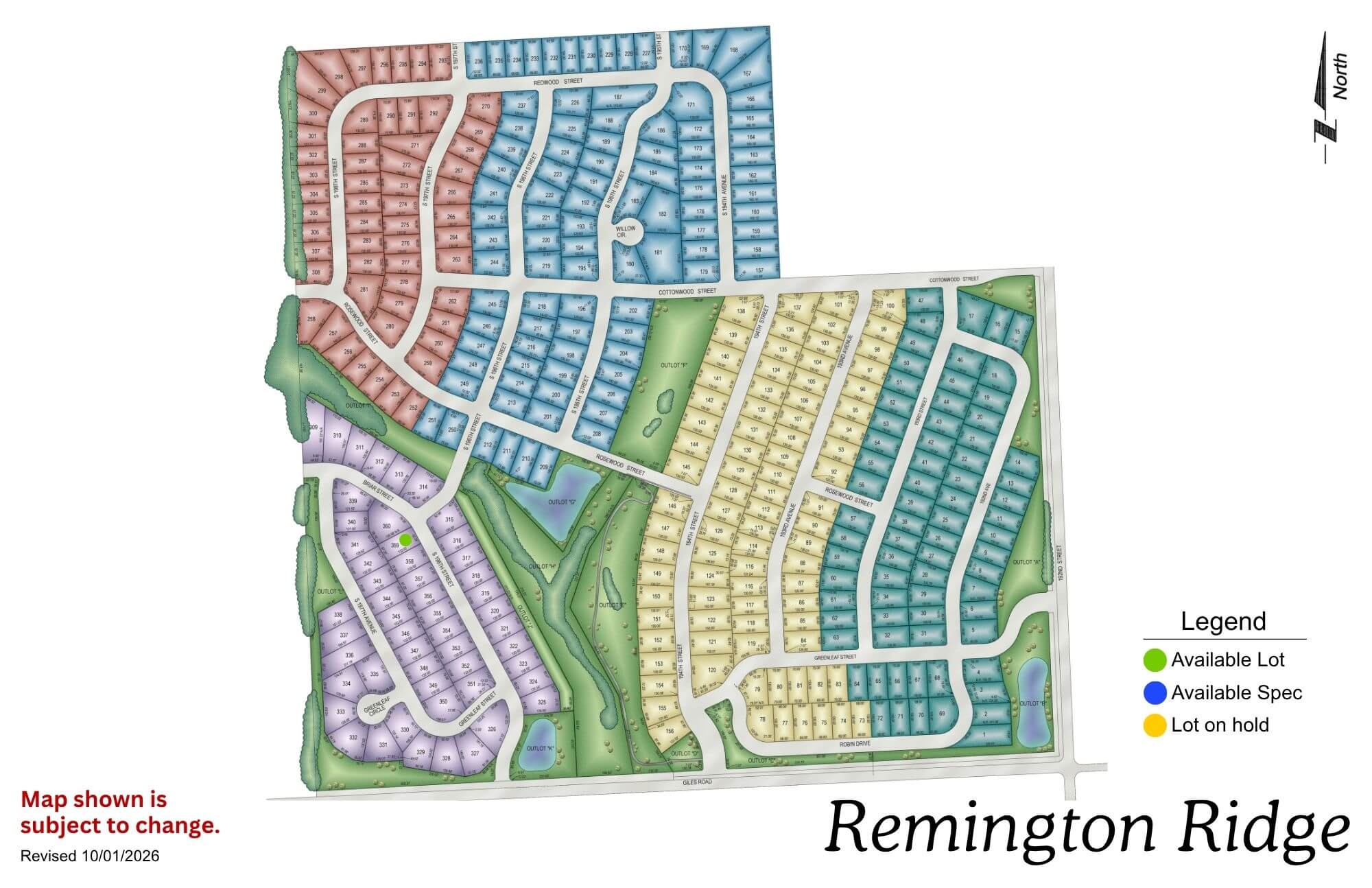
Remington Ridge

Remington Ridge neighborhood map showing colored sections for available lots and different residential areas
Click to enlarge
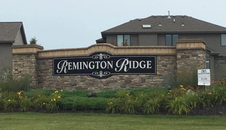
Remington Ridge residential community entrance sign with stone base and landscaping in front of houses

Location: South of 192nd & Harrison St

School District: Gretna

Amenities:

  • Trails and Nature reserve

Bridgeport

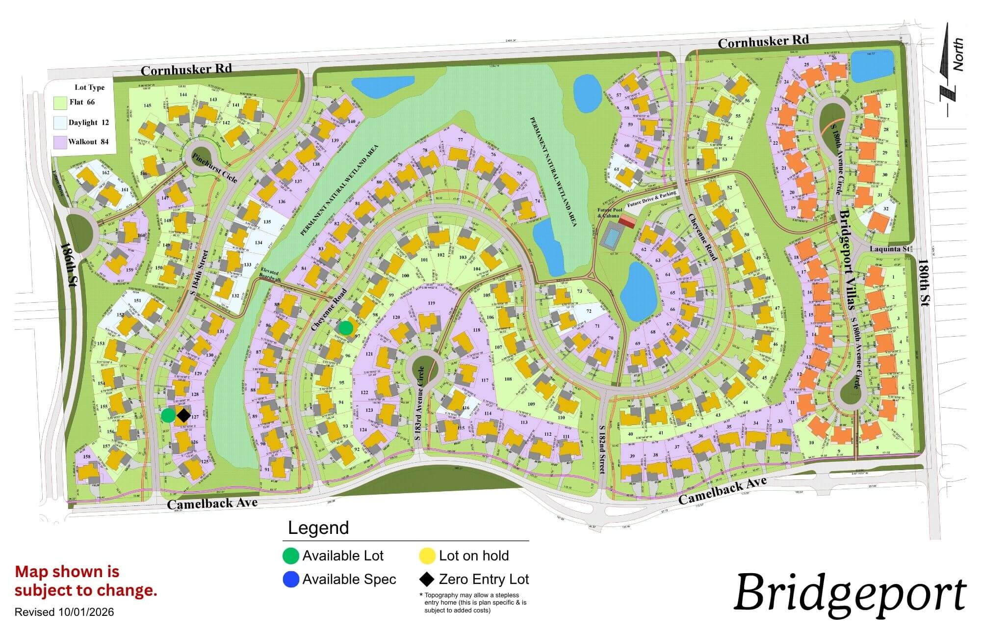
Bridgeport community map showing residential streets, green spaces, and planned development areas with legend
Click to enlarge
Bridgeport logo with blue text and stylized feather icon

Location: 180th St & Cornhusker Road

School District: Gretna

Amenities:

  • Coved, park-like streetscape
  • Extensive green space and trail network
  • Community Swimming Pool

Aspen Creek North

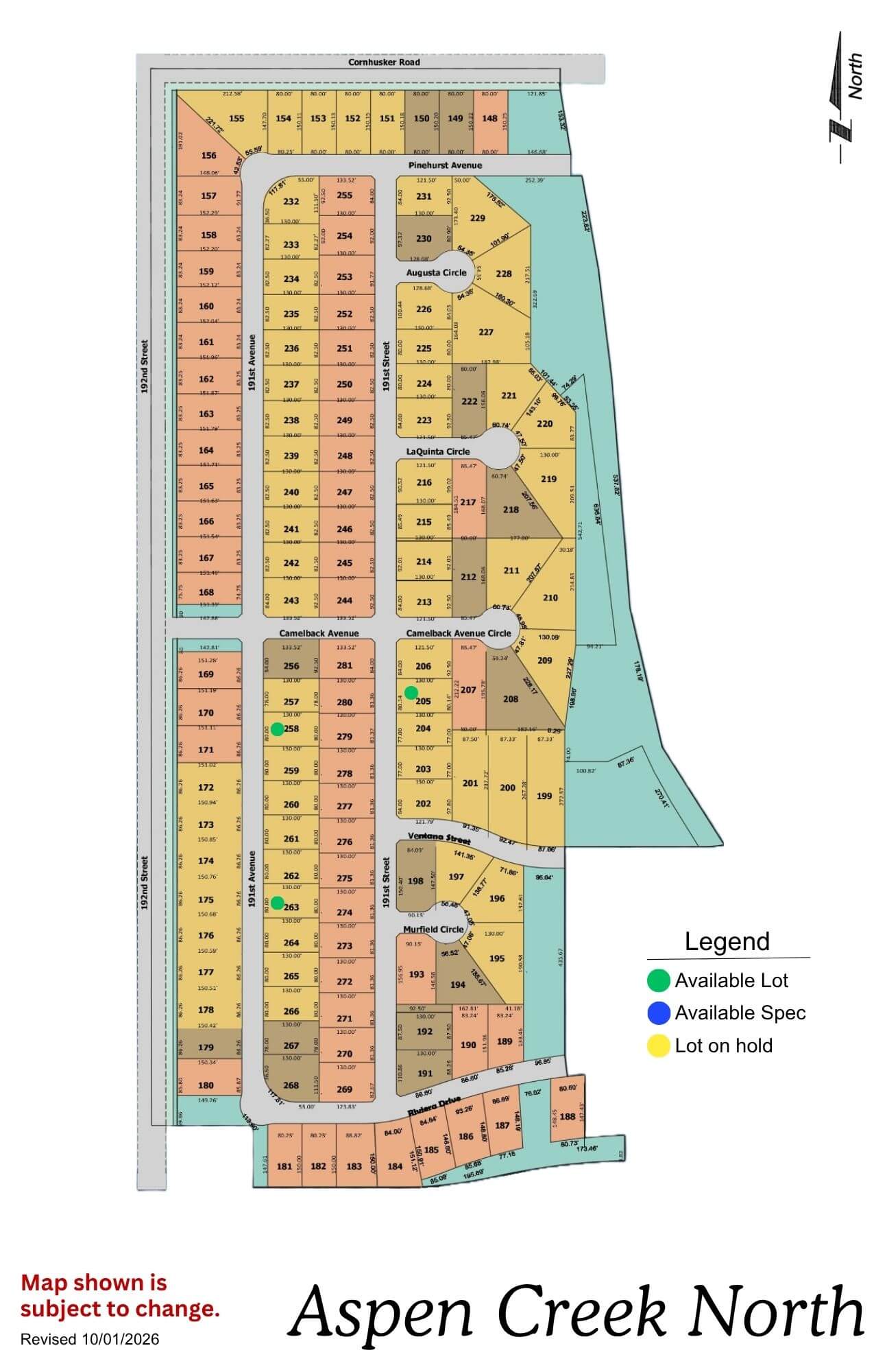
Aspen Creek North community map showing lot layouts and street names
Click to enlarge
Aspen Creek North Phase 2 logo with orange circles and gold text on blue background

Location: 1 mile N of 192nd & Hwy 370

School District: Gretna

Amenities:

  • Adjacent to the all-new Gretna school campus facility

Daybreak Springs

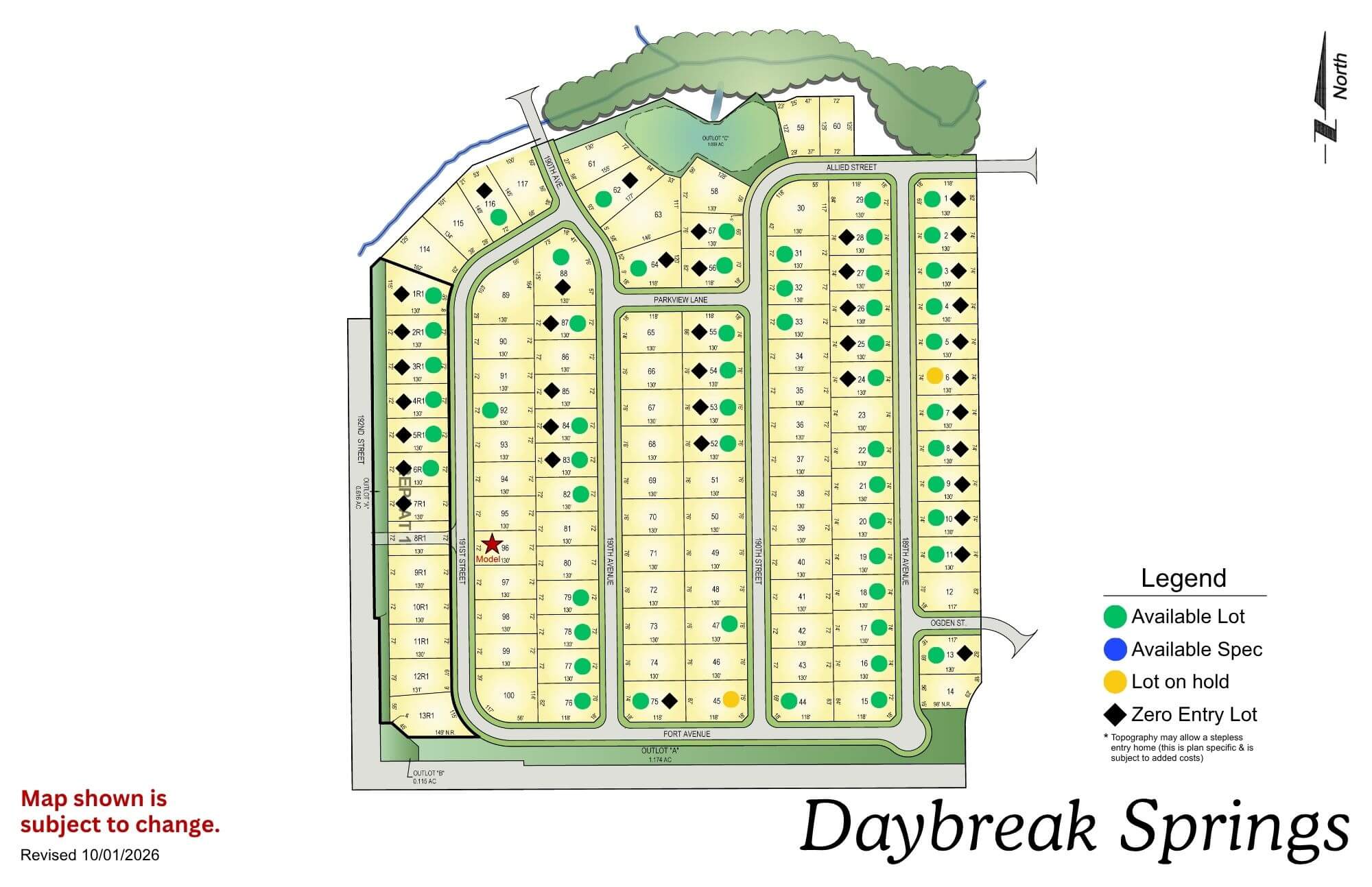
Daybreak Springs residential community map with streets, lots, and legend showing amenities and facilities
Click to enlarge
Daybreak Springs logo with blue cursive text and a yellow sun graphic

Location: 192nd St & Fort St

School District: Elkhorn

Amenities:

  • Access to green space
  • Nearby Golfing
  • Adjacent to the Fort Street Improvement Project

Calarosa

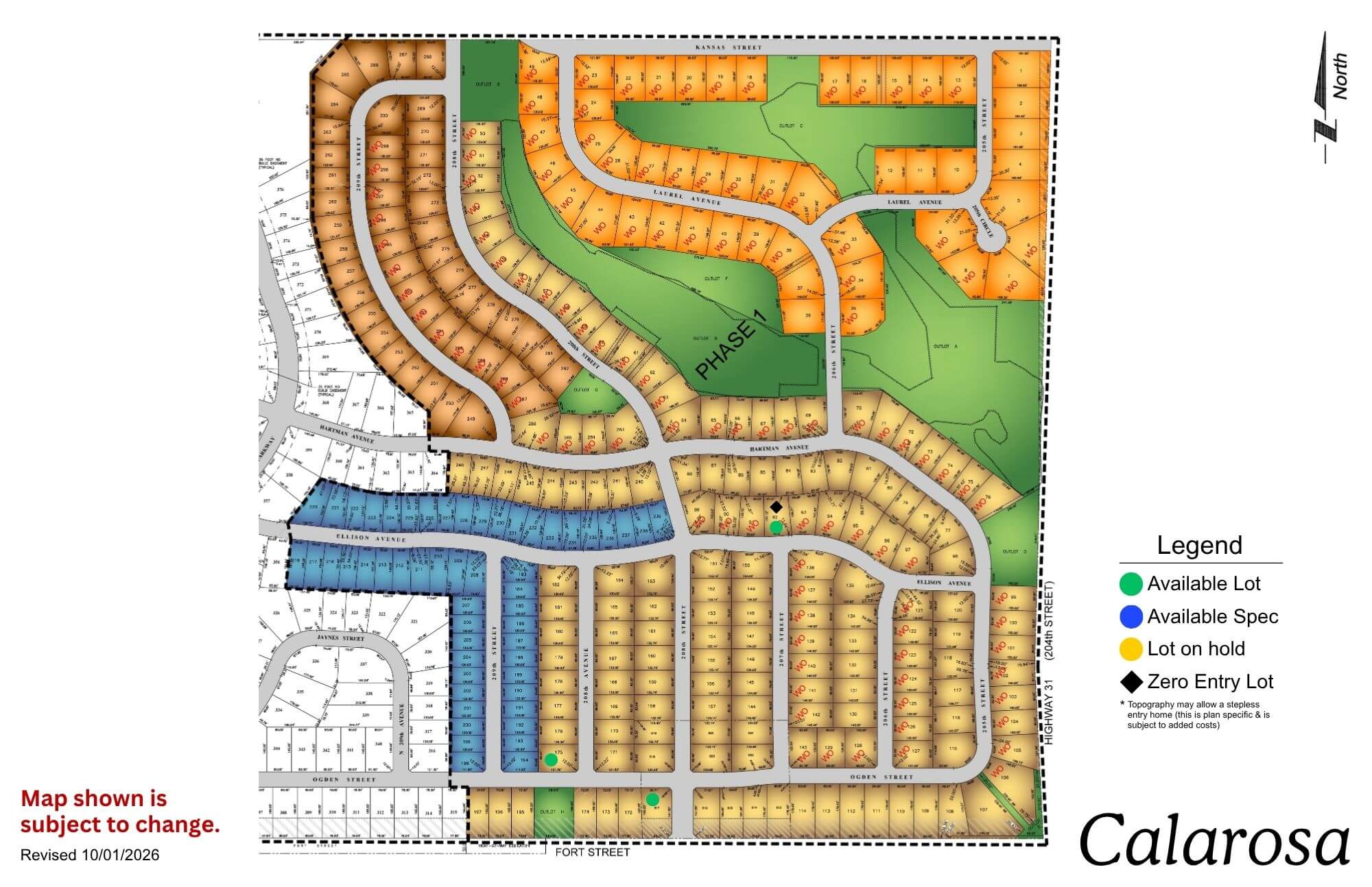
Calarosa residential community map showing streets, lots, and green spaces with legend
Click to enlarge
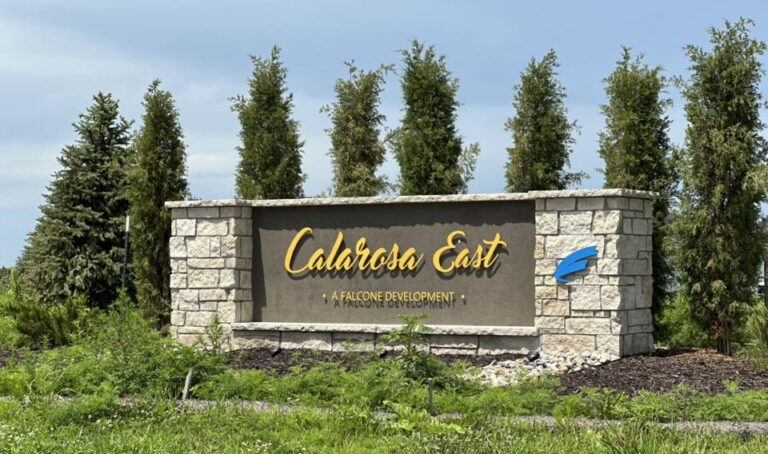
Calarosa East monument sign with stone base and evergreen trees in background

Location: 204th St and Fort St

School District: Elkhorn

Amenities:

  • 3 miles from Maple St Shopping Corridor

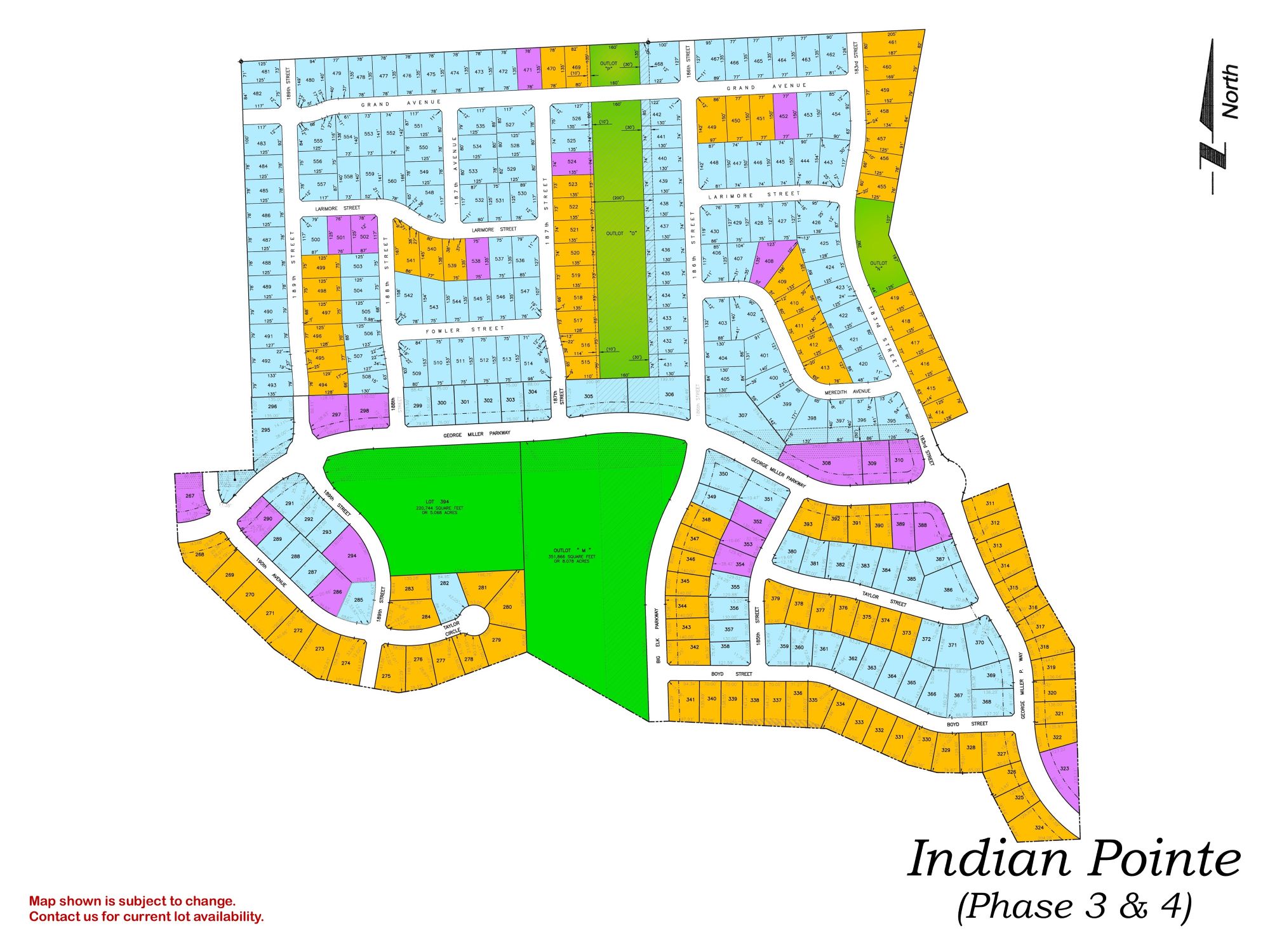
Indian Pointe

Indian Pointe Phase 3 & 4 residential development map showing street layout and colored lot divisions
Click to enlarge
Falling Water residential community entrance sign with stone base and houses visible in background

Location: 198th & Harrison St

School District: Gretna

Amenities:

  • Close to easy access traffic ways, established neighborhood, close day care centers, and several places of worship.
  • Oversized lots – many 82’ wide lots.
  • Minutes to West Dodge traffic way, the 180th & Center shopping mile, the I-80 interstate system, and to grocery and other shopping services.

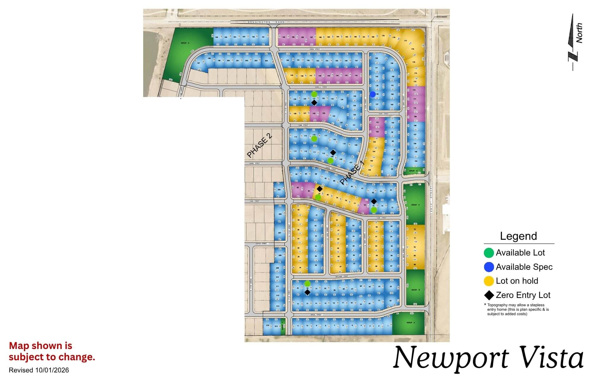
Newport Vista

Newport Vista map showing residential streets, lots, and legend with color-coded categories
Click to enlarge
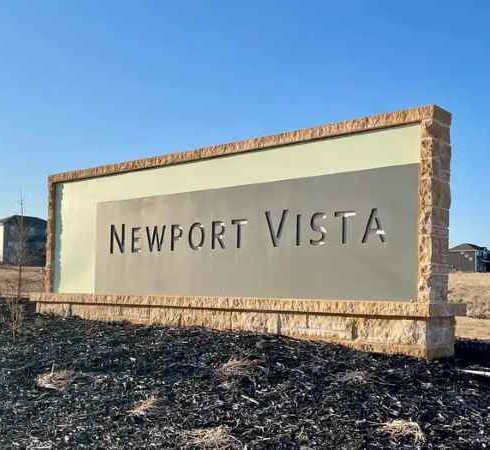
Newport Vista community sign with tan background and brown border against clear blue sky

Location: North 168th Street and Bennington Road

School District: Bennington

Amenities:

  • View lots
  • Bennington school across the street
  • Adjacent to a nature reserve
  • View of Bennington Lake

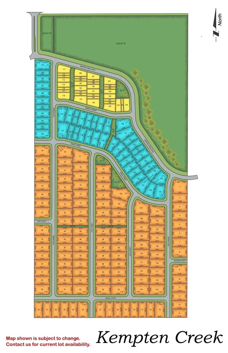
Kempten Creek

Kempten Creek residential subdivision map showing street layout and lot divisions in orange and blue sections
Click to enlarge
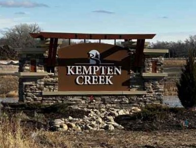
Wooden entrance sign for Kempten Creek with stone base and metal frame against rural landscape

Location: 165th Street and Bennington Road

School District: Bennington

Amenities:

  • View lots
  • Adjacent to regional park

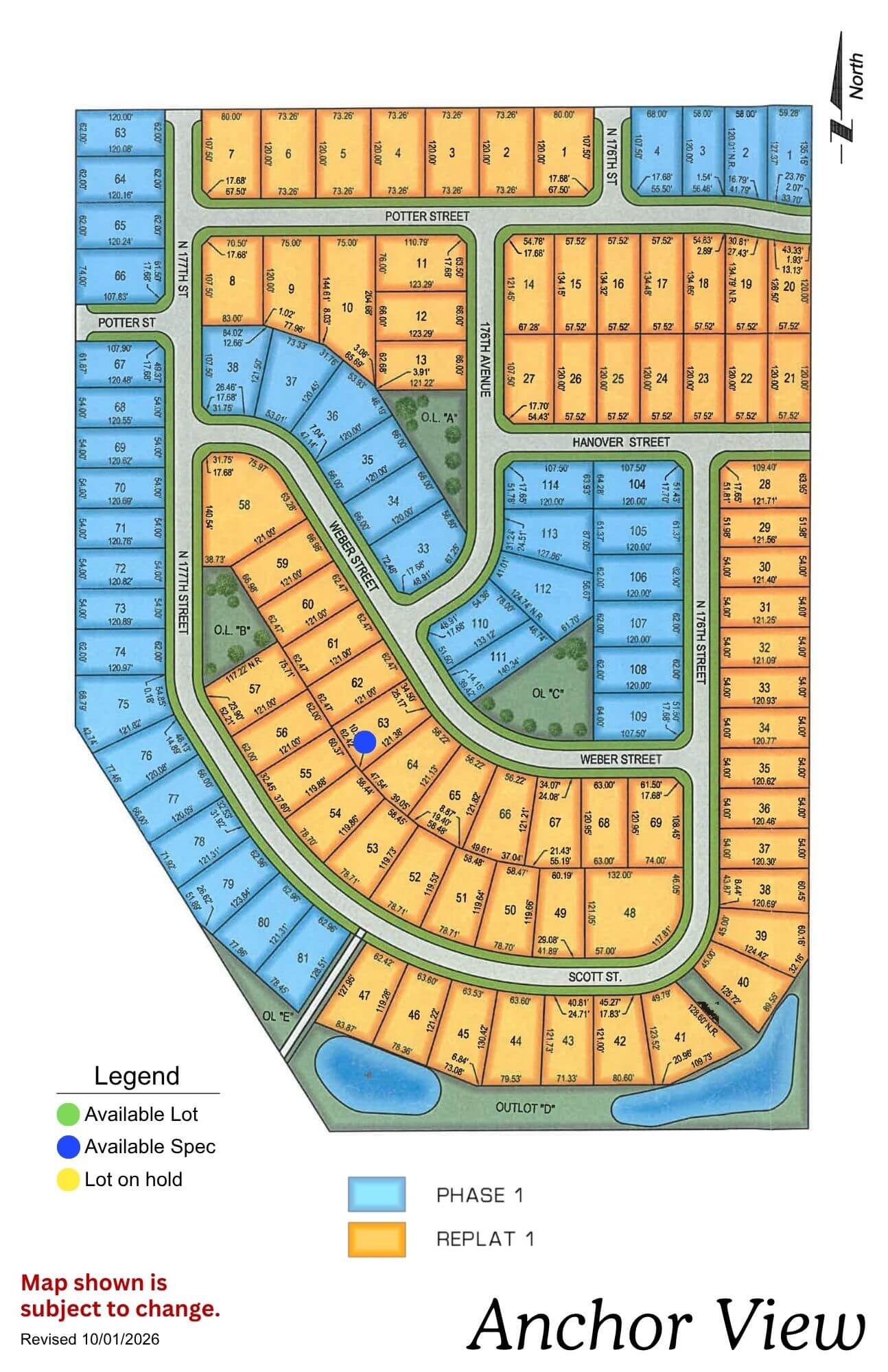
Anchor View

Anchor View residential community map showing lot layouts, streets, and available parcels in yellow and blue sections
Click to enlarge
Anchor View logo with navy anchor and rope design in circle with text below

Location: 3 blocks N of 168th Ida

School District: Elkhorn

Amenities:

  • Overlooks Flanagan Lake, a 220-acre lake with 730 acres of recreation
  • Public access Flanagan Lake as well as facilities for boat access
  • Blocks of walking & biking trails
  • Playgrounds and youth sport fields

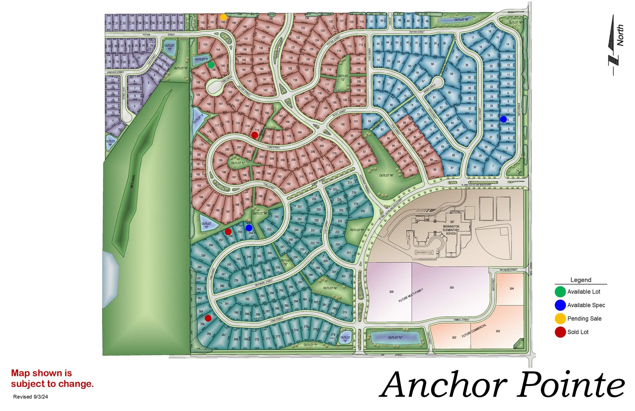
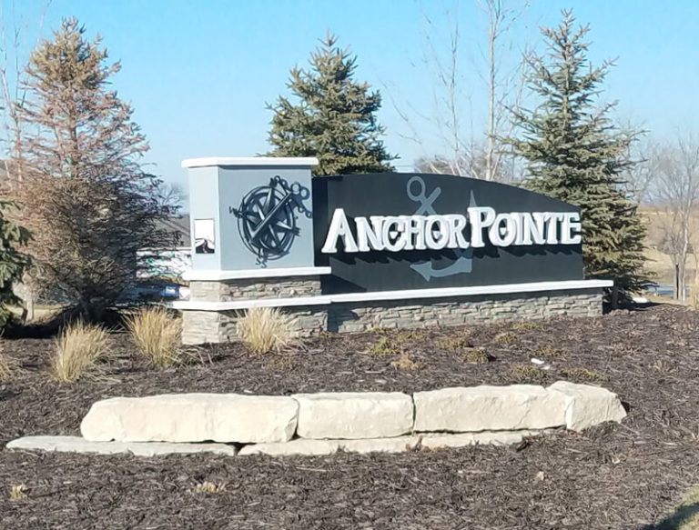
Anchor Pointe

Anchor Pointe development map showing residential streets, green space, and community layout with color-coded zones
Click to enlarge
Anchor Pointe sign with large boulder in front and evergreen trees in background

Location: 198th & Harrison St

School District: Gretna

Amenities:

  • Close to easy access traffic ways, established neighborhood, close day care centers, and several places of worship.
  • Oversized lots – many 82’ wide lots.
  • Minutes to West Dodge traffic way, the 180th & Center shopping mile, the I-80 interstate system, and to grocery and other shopping services.

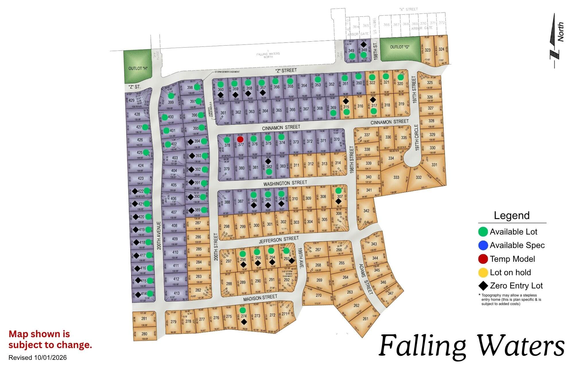
Falling Waters

Falling Waters residential development map showing colored lot sections with legend and street layout
Click to enlarge
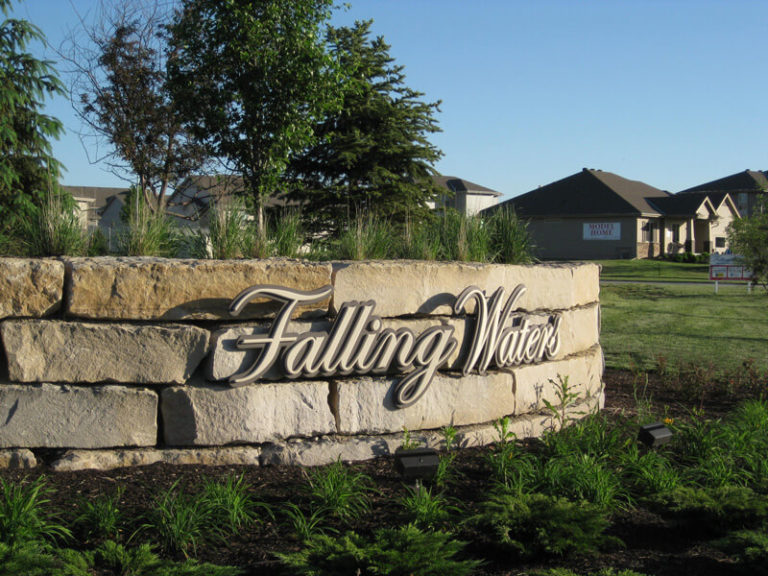
Falling Water subdivision entrance sign with stone base and manicured lawn, residential neighborhood buildings visible in

Location: 198th & Harrison St

School District: Gretna

Amenities:

  • Close to easy access traffic ways, established neighborhood, close day care centers, and several places of worship.
  • Oversized lots – many 82’ wide lots.
  • Minutes to West Dodge traffic way, the 180th & Center shopping mile, the I-80 interstate system, and to grocery and other shopping services.
Avatar
Katie contacted us to discuss a project
Avatar
Sarah contacted us to discuss a project
Avatar
Jiten contacted us to discuss a project
Avatar
Ella contacted us to discuss a project
Avatar
Lisa contacted us to discuss a project
Avatar
Matthew has downloaded our Planning Guide