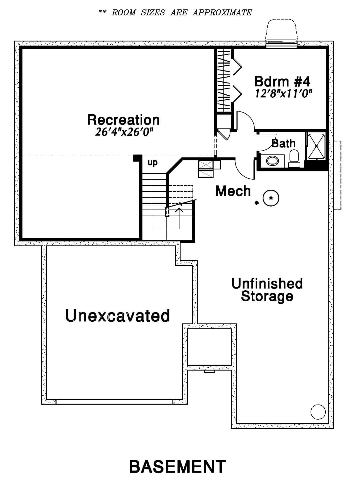
Modern two-story white residential home with three-car garage and manicured lawn under clear blue sky

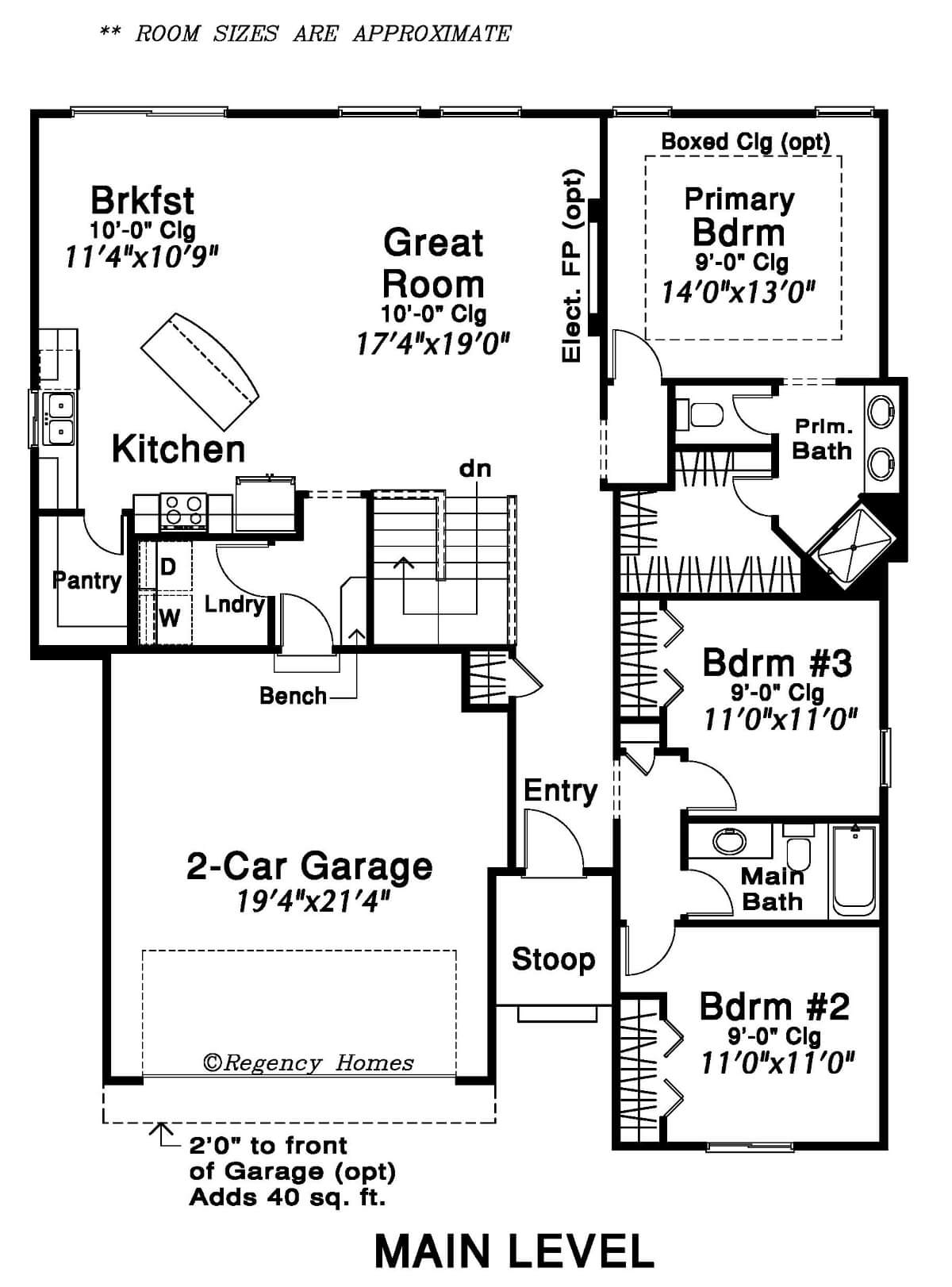
Commodore 1640

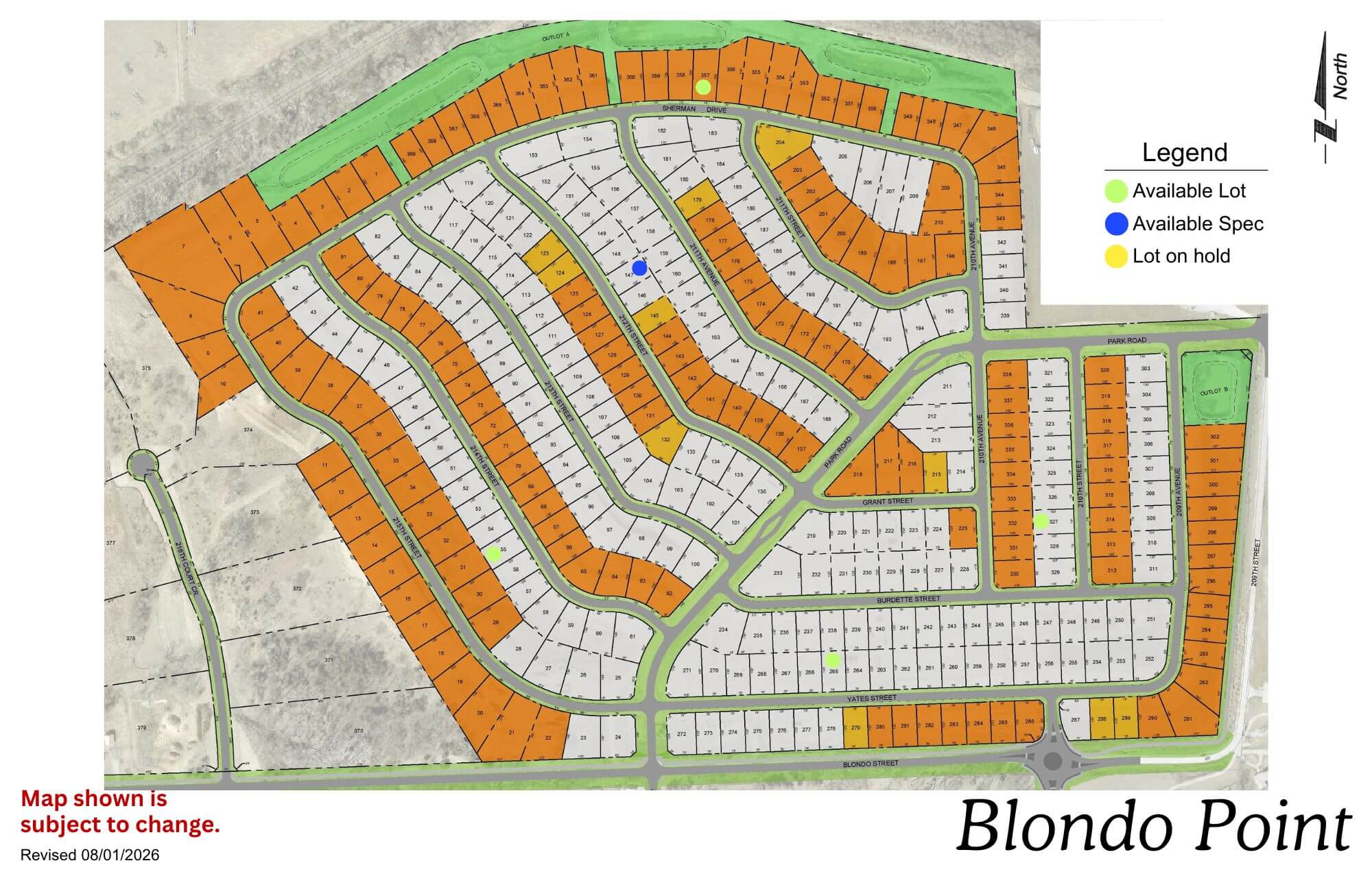
Blondo Point

Blondo Point residential development map showing street layout and lot divisions in orange and white
Click to enlarge

Location: 214th St & Blondo St

School District: Elkhorn

Amenities:

  • 1 Minutes from the West Dodge Expressway

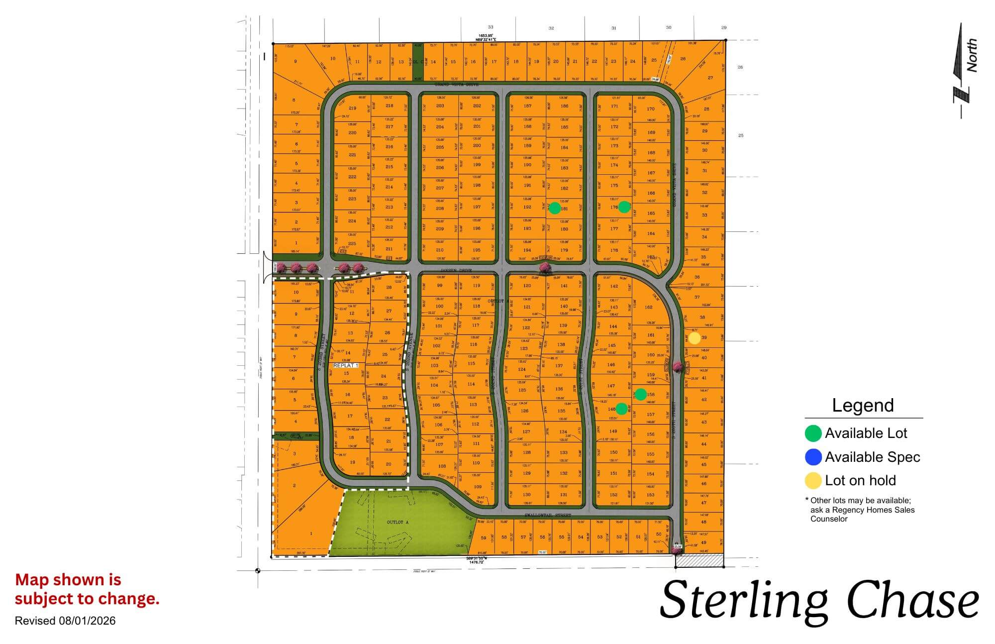
Sterling Chase

Sterling Chase residential subdivision map showing street layout and lot divisions in orange with green space areas
Click to enlarge
Sterling Chase logo featuring a silhouette of a running horse with circular design elements and text

Location: 204th & Capehart Rd

School District: Gretna

Amenities:

  • Across from the new YMCA
  • Gretna Crossing nature park
  • Dog park

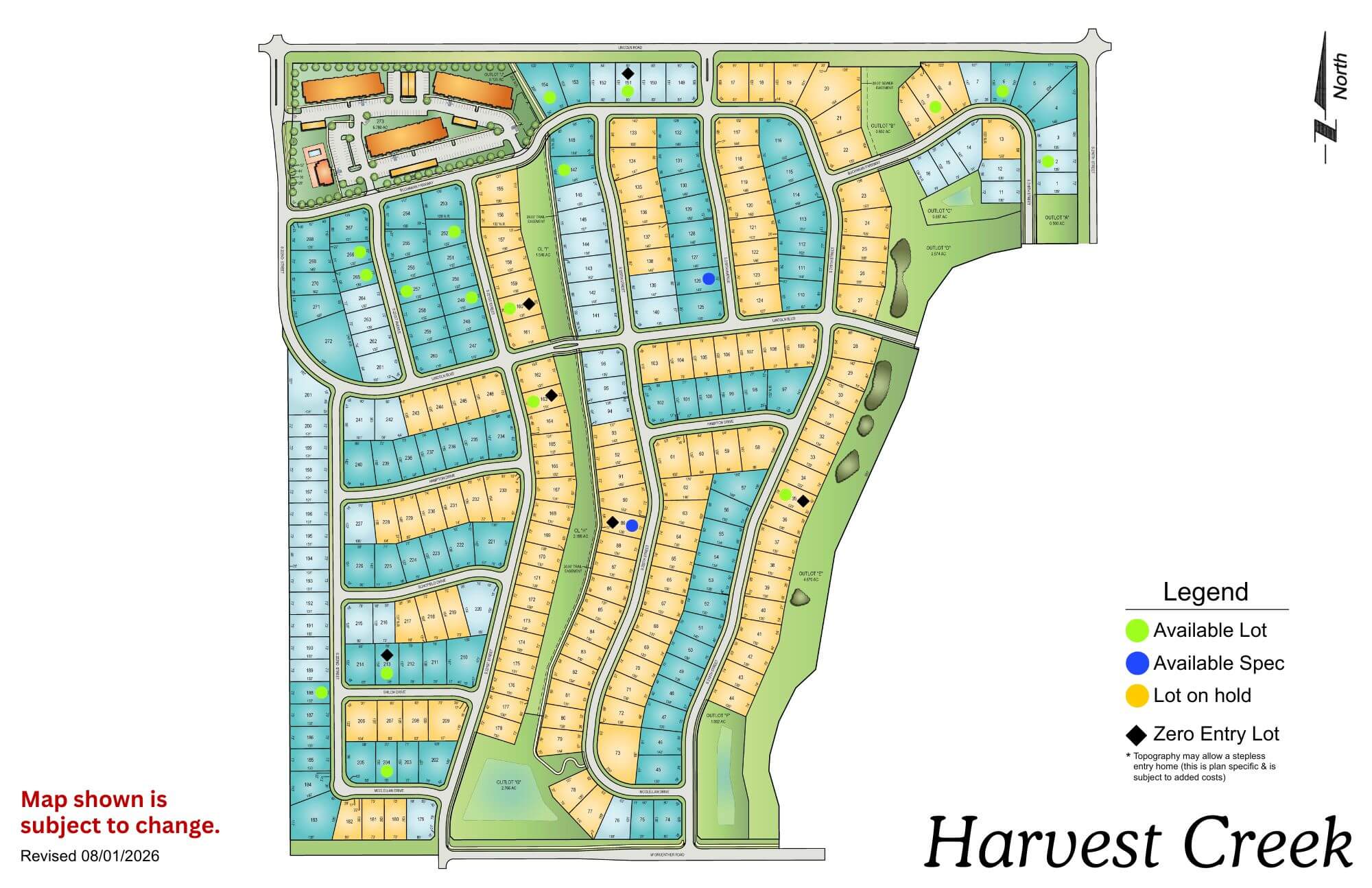
Harvest Creek

Harvest Creek residential development map showing street layout, lot divisions, and green spaces with legend
Click to enlarge
flagged_for_blc_image_alt_generator

Location: 216th & Lincoln Rd

School District: Gretna

Amenities:

  • Green Space

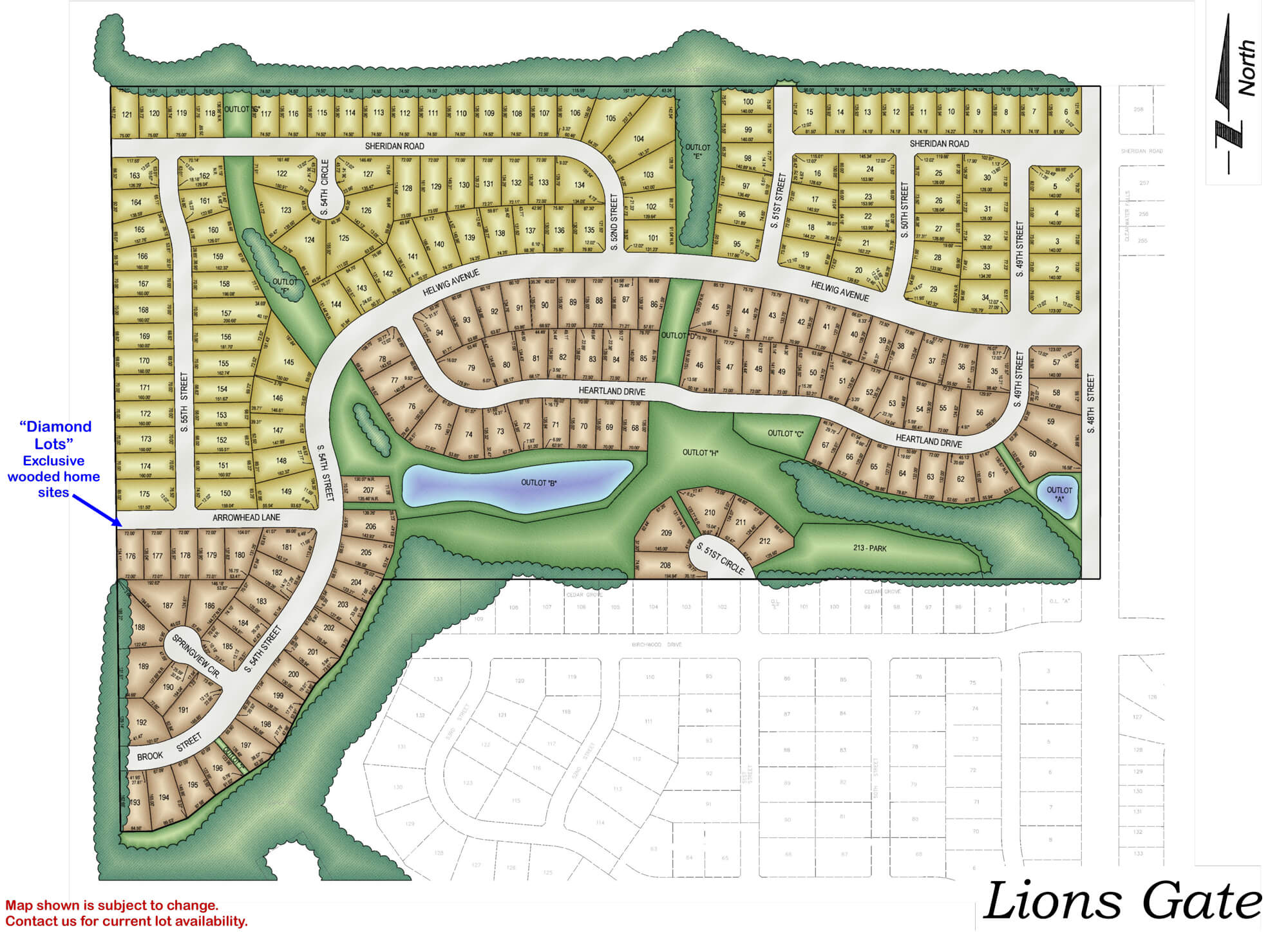
Lions Gate

Detailed neighborhood map showing Lions Gate residential development with streets, house lots, green spaces, and water
Click to enlarge
Falling Water residential community entrance sign with stone base and houses visible in background

Location: 198th & Harrison St

School District: Gretna

Amenities:

  • Close to easy access traffic ways, established neighborhood, close day care centers, and several places of worship.
  • Oversized lots – many 82’ wide lots.
  • Minutes to West Dodge traffic way, the 180th & Center shopping mile, the I-80 interstate system, and to grocery and other shopping services.
Liberty

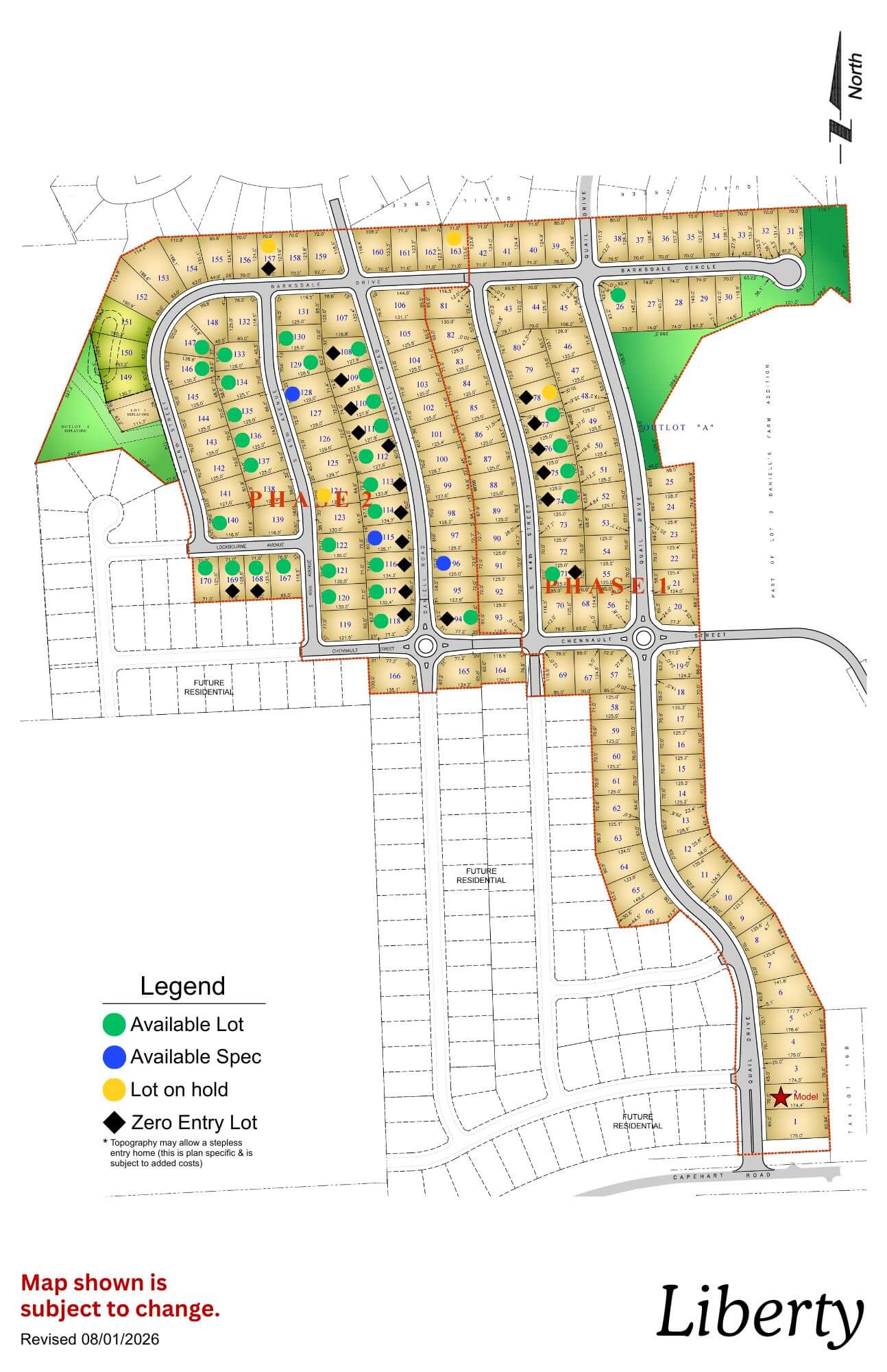
Liberty subdivision map showing planned residential lots, roads, and green spaces with north orientation
Click to enlarge
flagged_for_blc_image_alt_generator

Location: 43rd & Capehart Rd

School District: Bellevue

Amenities:

  • Treed and nature reserve lots available
  • 11 minutes from Shadow Lake Towne Center
  • 15 minutes from Offutt Air Force Base

Sumtur Crossing

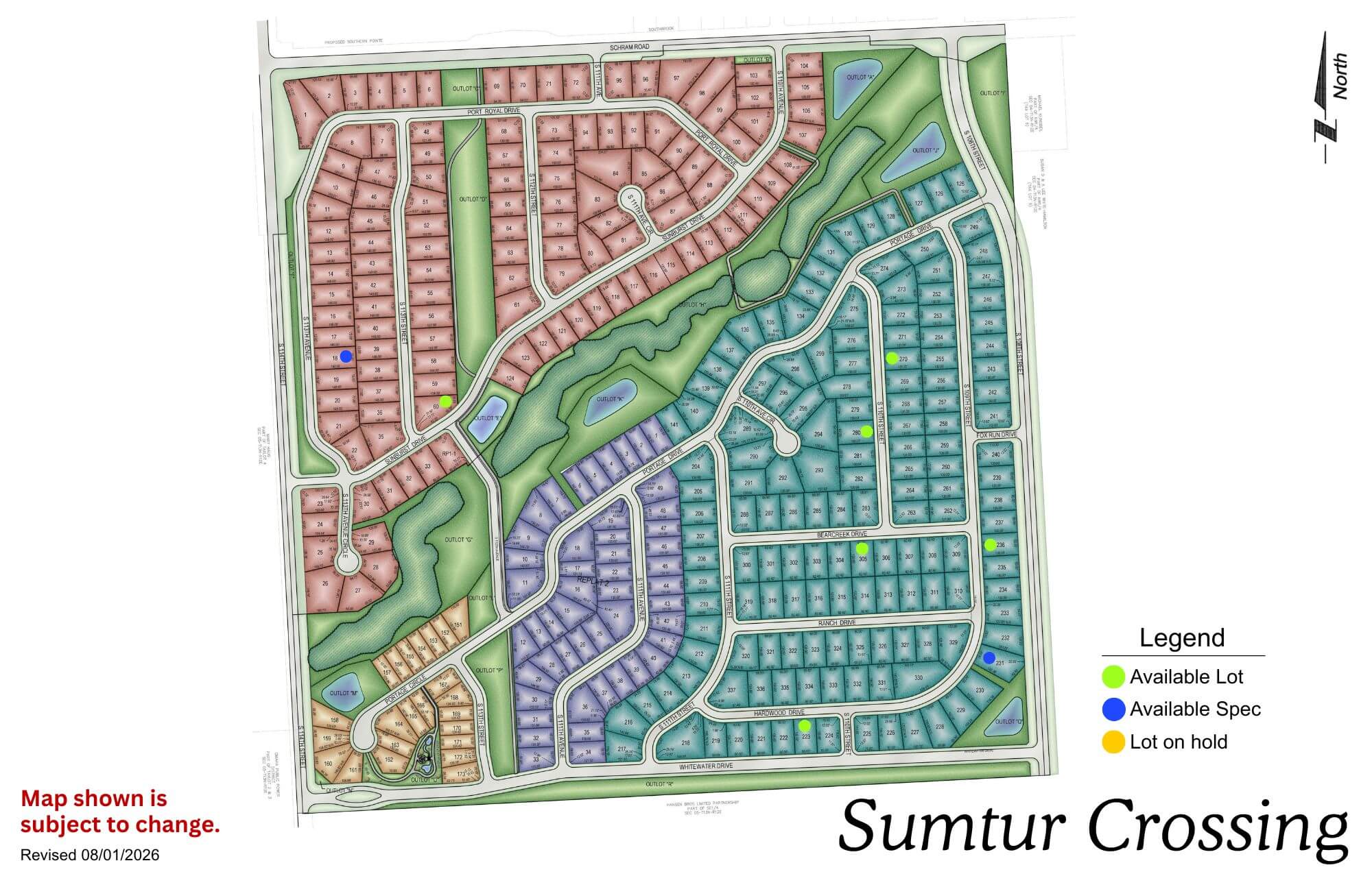
Sumtur Crossing neighborhood map showing residential streets, parks, and green spaces in a planned community layout
Click to enlarge
Sumtur Crossing entrance sign with landscaping and trees in background

Location: 114th & Schramm Rd

School District: Papillion La Vista

Amenities:

  • Close to Sumtur Amphitheater (concerts, movies and plays)
  • Adjacent to the 450 acre Walnut Creek Recreation area with its 105 acre lake (hiking, biking and fishing)

Granite Creek

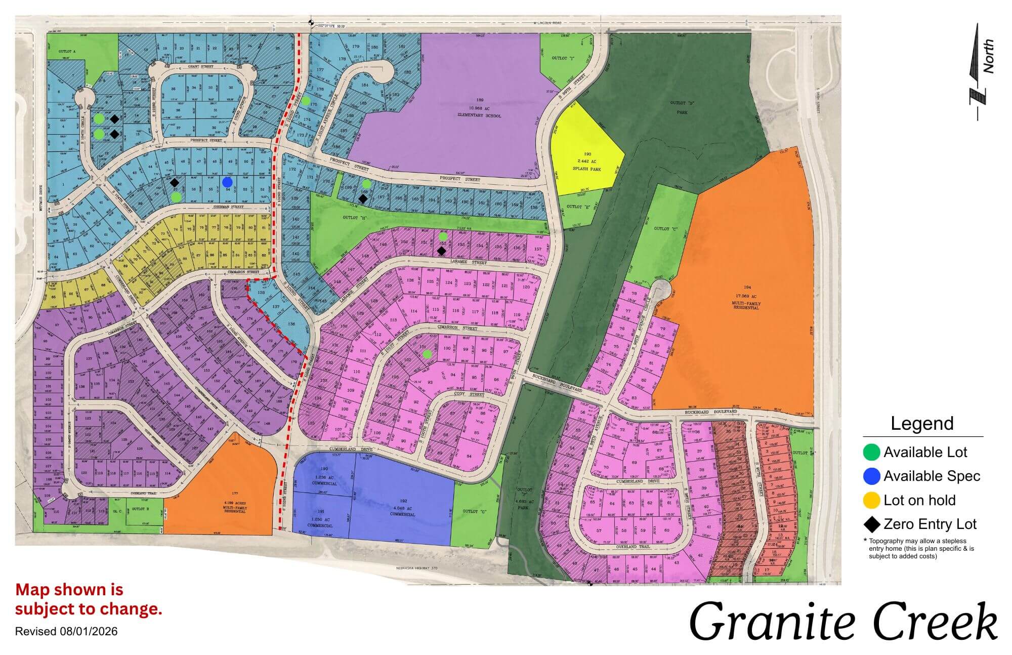
Granite Creek community map showing colored residential sections, streets, and amenities with legend
Click to enlarge
Granite Creek logo with sun, evergreen trees, and blue sky sunset background

Location: 108th & Lincoln Rd

School District: Papillion La Vista

Amenities:

  • Adjacent to the proposed NRD lake area
  • Close to Sumtur Amphitheater (concerts, movies and plays)
  • Close to the 450 acre Walnut Creek Recreation area with its 105 acre lake (hiking, biking and fishing)
  • Close to Werner Ball Park – Home of the Omaha Storm Chasers

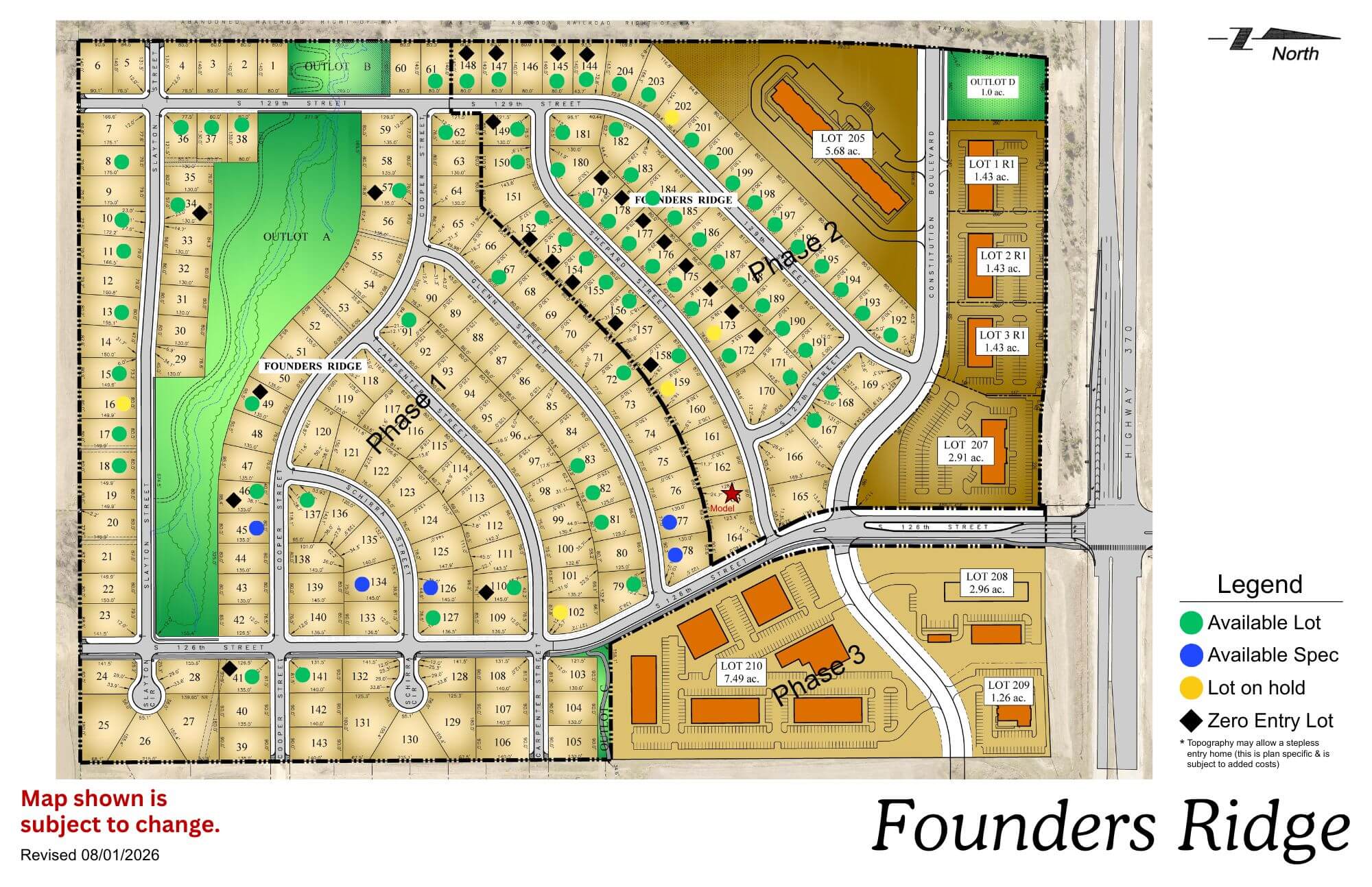
Founders Ridge

Founders Ridge residential community map showing street layout, lots, and amenities including green spaces and legend
Click to enlarge
Wooden Founders Ridge sign with evergreen trees and landscaping in background

Location: 126th & Hwy 370

School District: Papillion La Vista

Amenities:

  • Adjacent to Prairie Queen Lake and Recreation Area-hiking, biking and fishing
  • Adjacent to Werner Ball Park – Home of the Omaha Storm Chasers
  • Minutes to the I-80 Interstate system
  • Enjoy the Sumtur Amphitheater for concerts, movies and plays, the Shadow Lake Towne Center shopping, and the Walnut Creek Recreation and lake area for hiking, biking and fishing

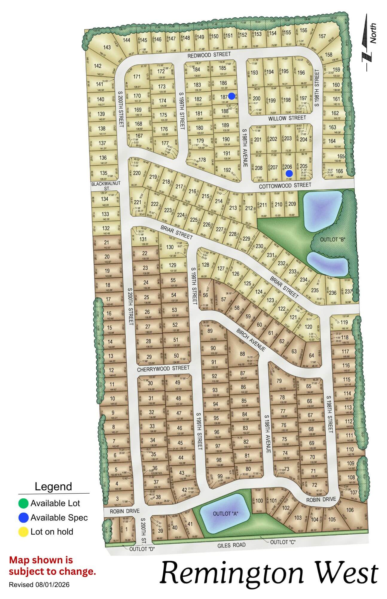
Remington West

Remington West residential subdivision map showing street layout, lot divisions, and amenities including parks and water
Click to enlarge
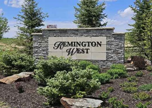
Remington West stone entrance sign with landscaping and evergreen trees

Location: West of Remington Ridge (South of Harrison on 192nd St)

School District: Gretna

Amenities:

  • Trails and Nature reserve

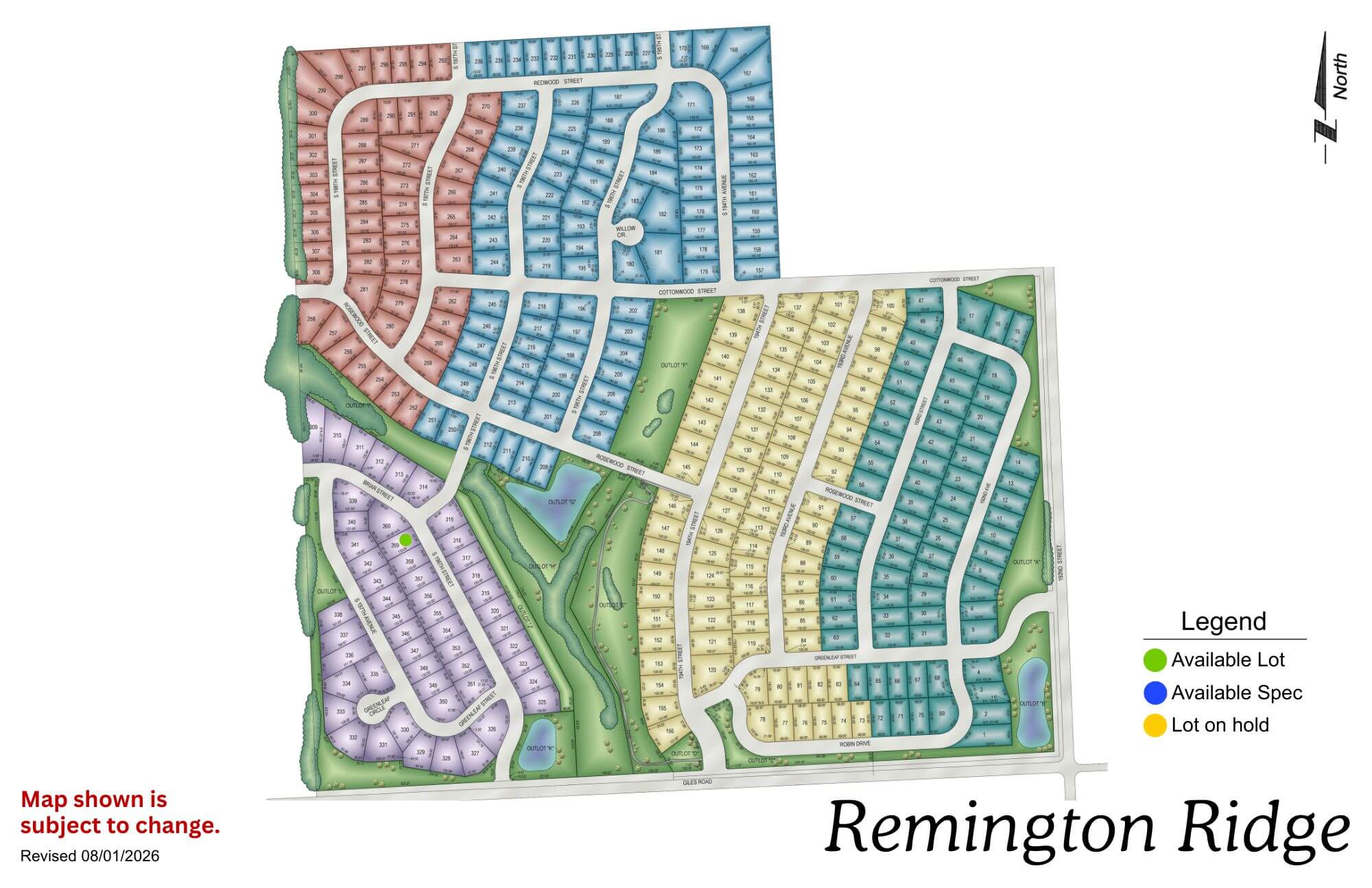
Remington Ridge

Remington Ridge neighborhood map showing colored sections for available lots and different residential areas
Click to enlarge
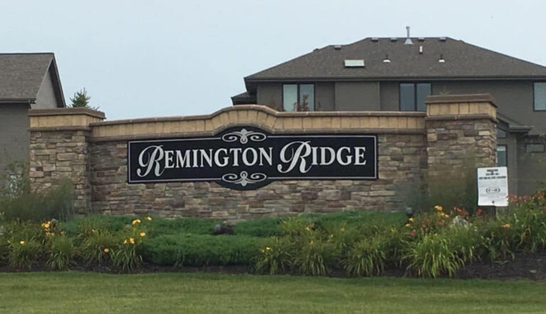
Remington Ridge residential community entrance sign with stone base and landscaping in front of houses

Location: South of 192nd & Harrison St

School District: Gretna

Amenities:

  • Trails and Nature reserve

Bridgeport

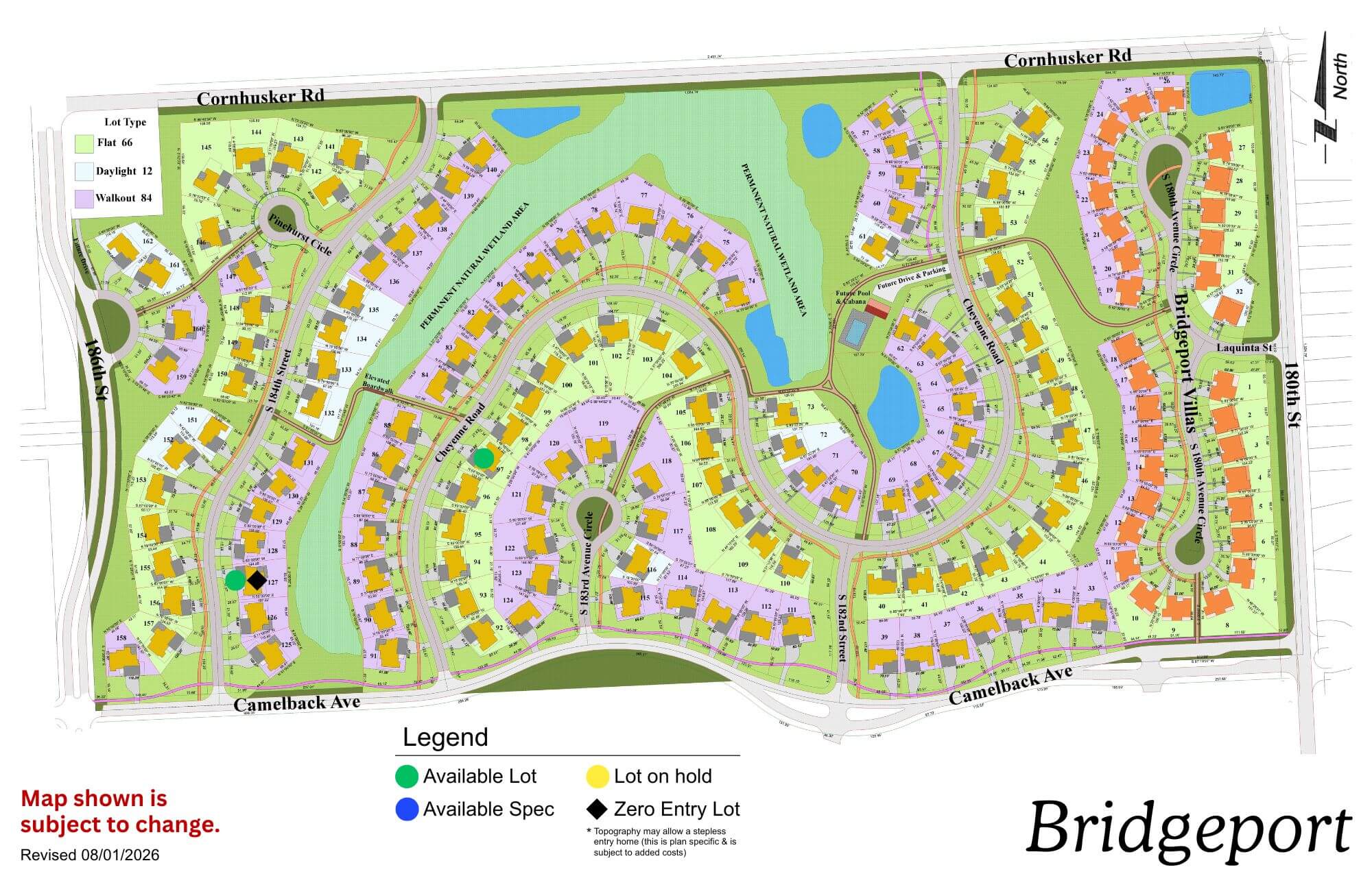
Bridgeport community map showing residential streets, green spaces, and planned development areas with legend
Click to enlarge
Bridgeport logo with blue text and stylized feather icon

Location: 180th St & Cornhusker Road

School District: Gretna

Amenities:

  • Coved, park-like streetscape
  • Extensive green space and trail network
  • Community Swimming Pool

Aspen Creek North

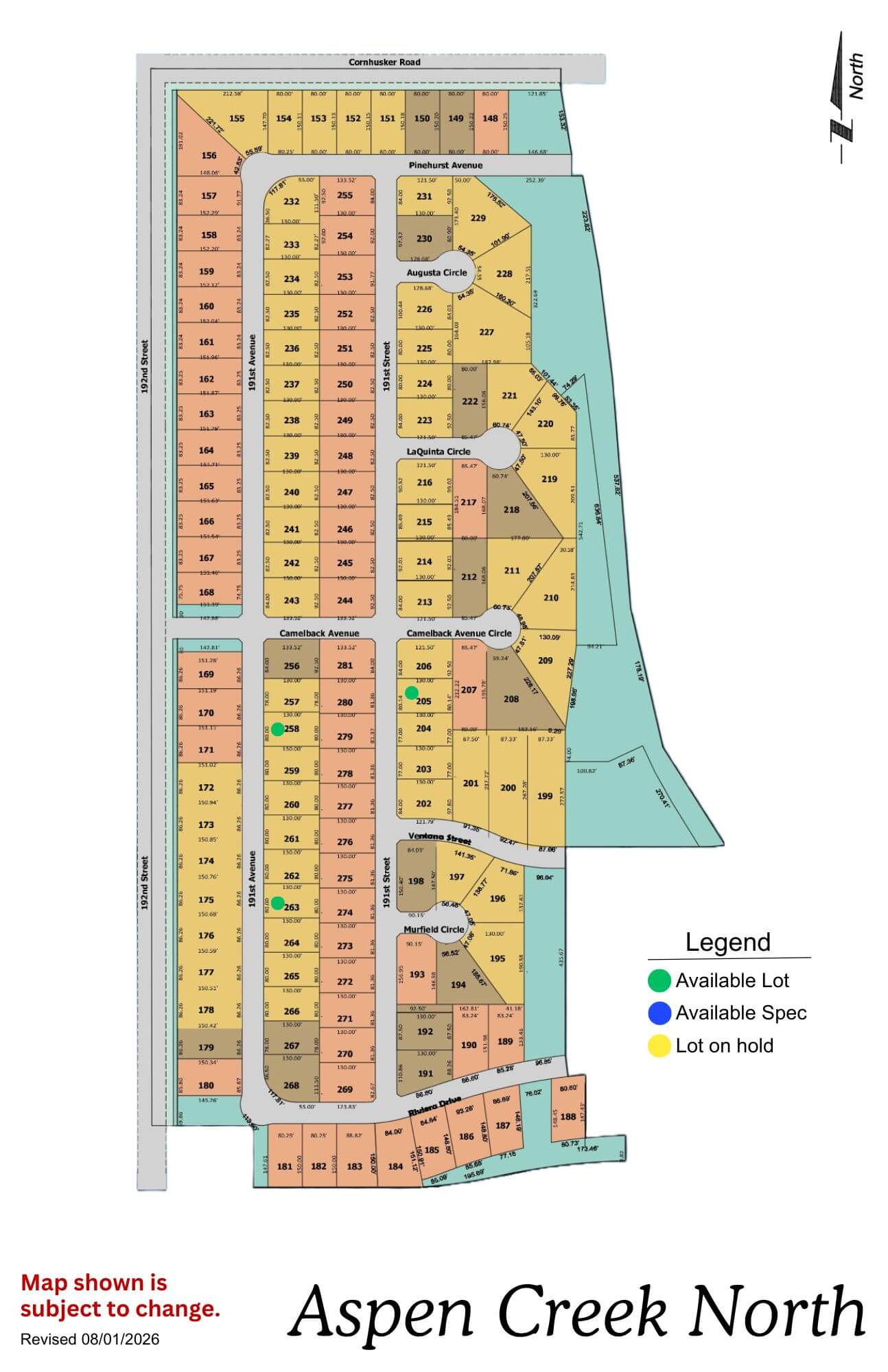
Aspen Creek North community map showing lot layouts and street names
Click to enlarge
Aspen Creek North Phase 2 logo with orange circles and gold text on blue background

Location: 1 mile N of 192nd & Hwy 370

School District: Gretna

Amenities:

  • Adjacent to the all-new Gretna school campus facility

Daybreak Springs

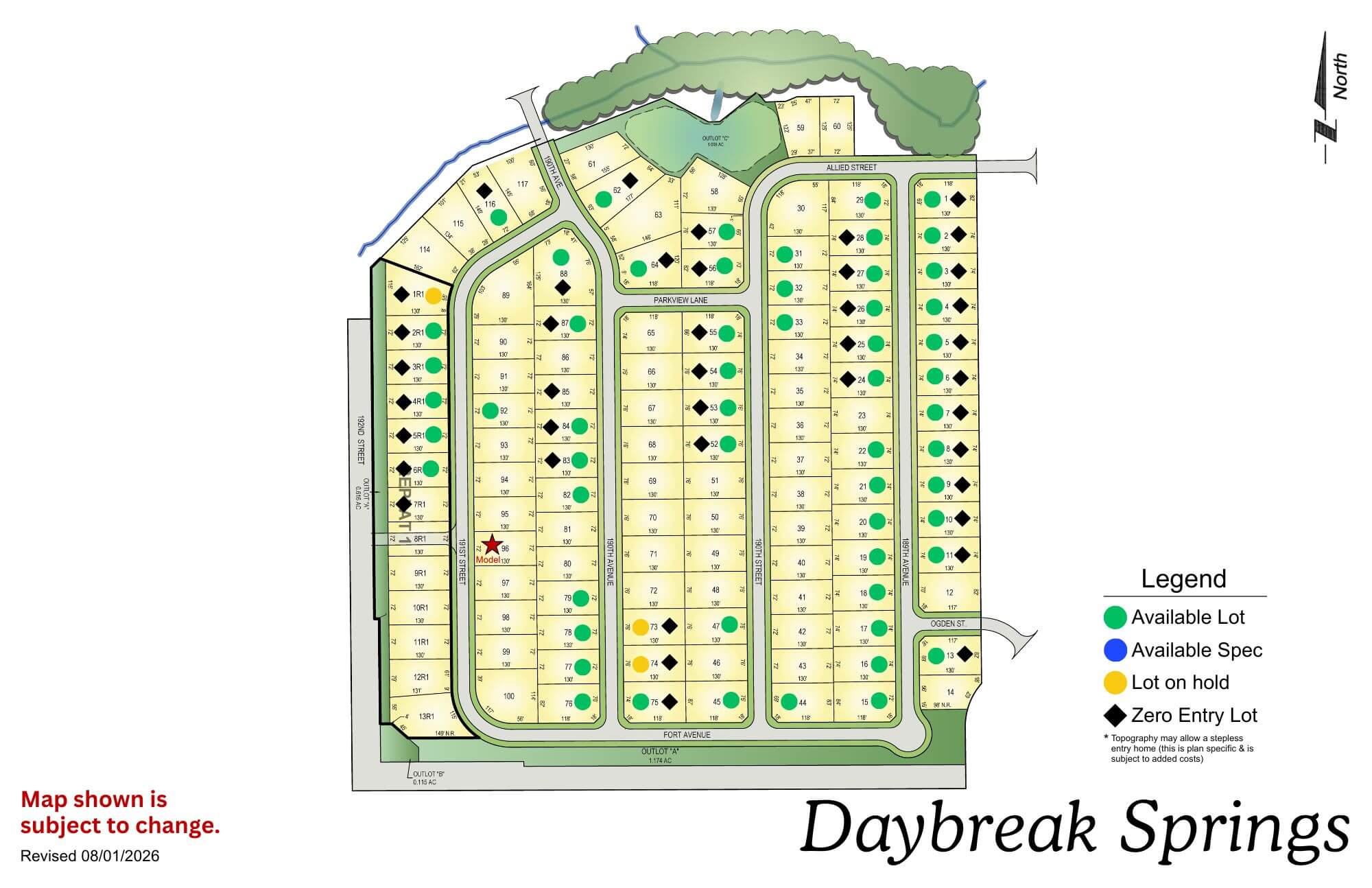
Daybreak Springs residential community map with streets, lots, and legend showing amenities and facilities
Click to enlarge
Daybreak Springs logo with blue cursive text and a yellow sun graphic

Location: 192nd St & Fort St

School District: Elkhorn

Amenities:

  • Access to green space
  • Nearby Golfing
  • Adjacent to the Fort Street Improvement Project

Calarosa

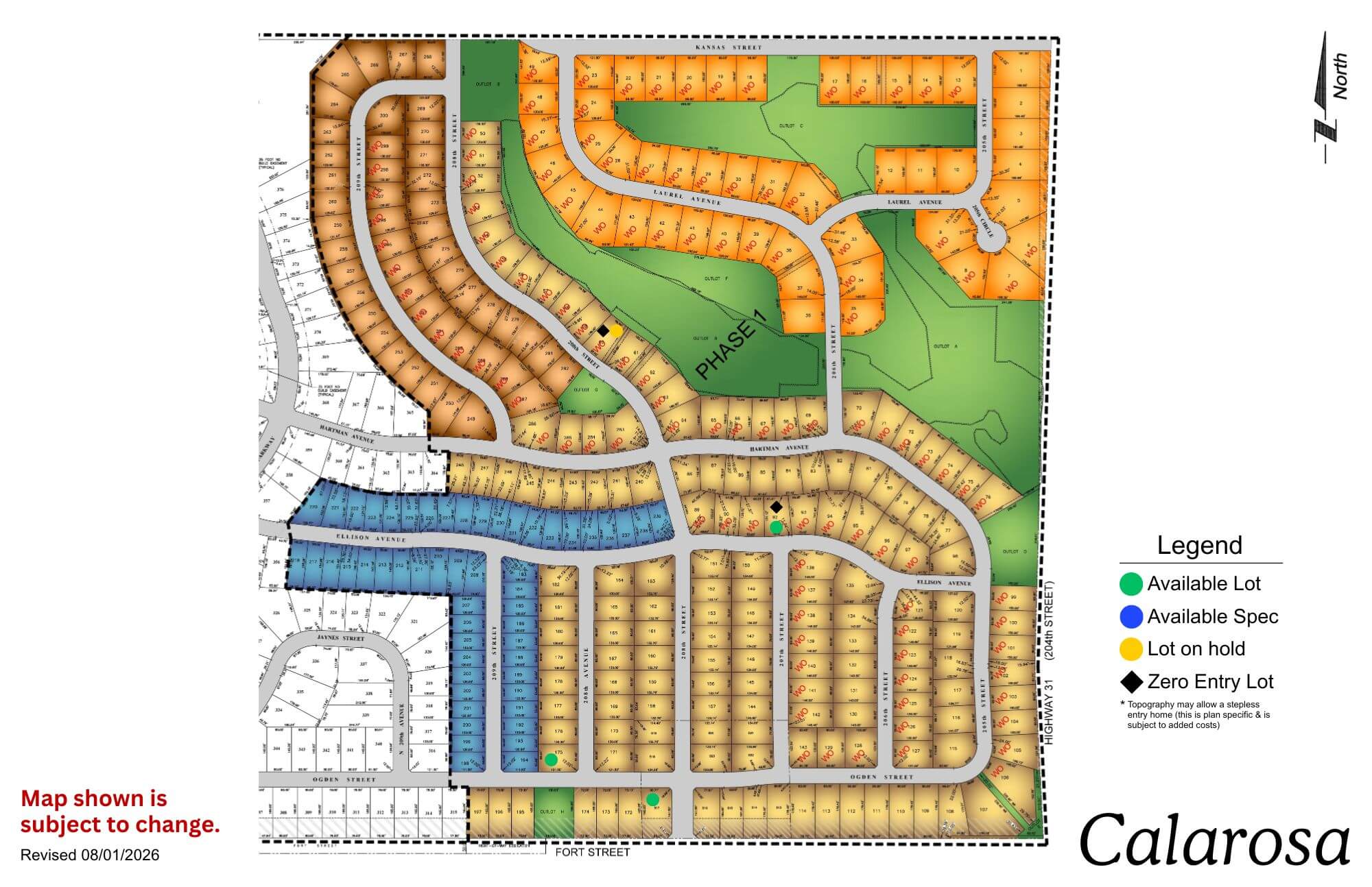
Calarosa residential community map showing streets, lots, and green spaces with legend
Click to enlarge
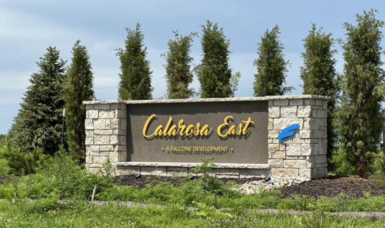
Calarosa East monument sign with stone base and evergreen trees in background

Location: 204th St and Fort St

School District: Elkhorn

Amenities:

  • 3 miles from Maple St Shopping Corridor

Indian Pointe

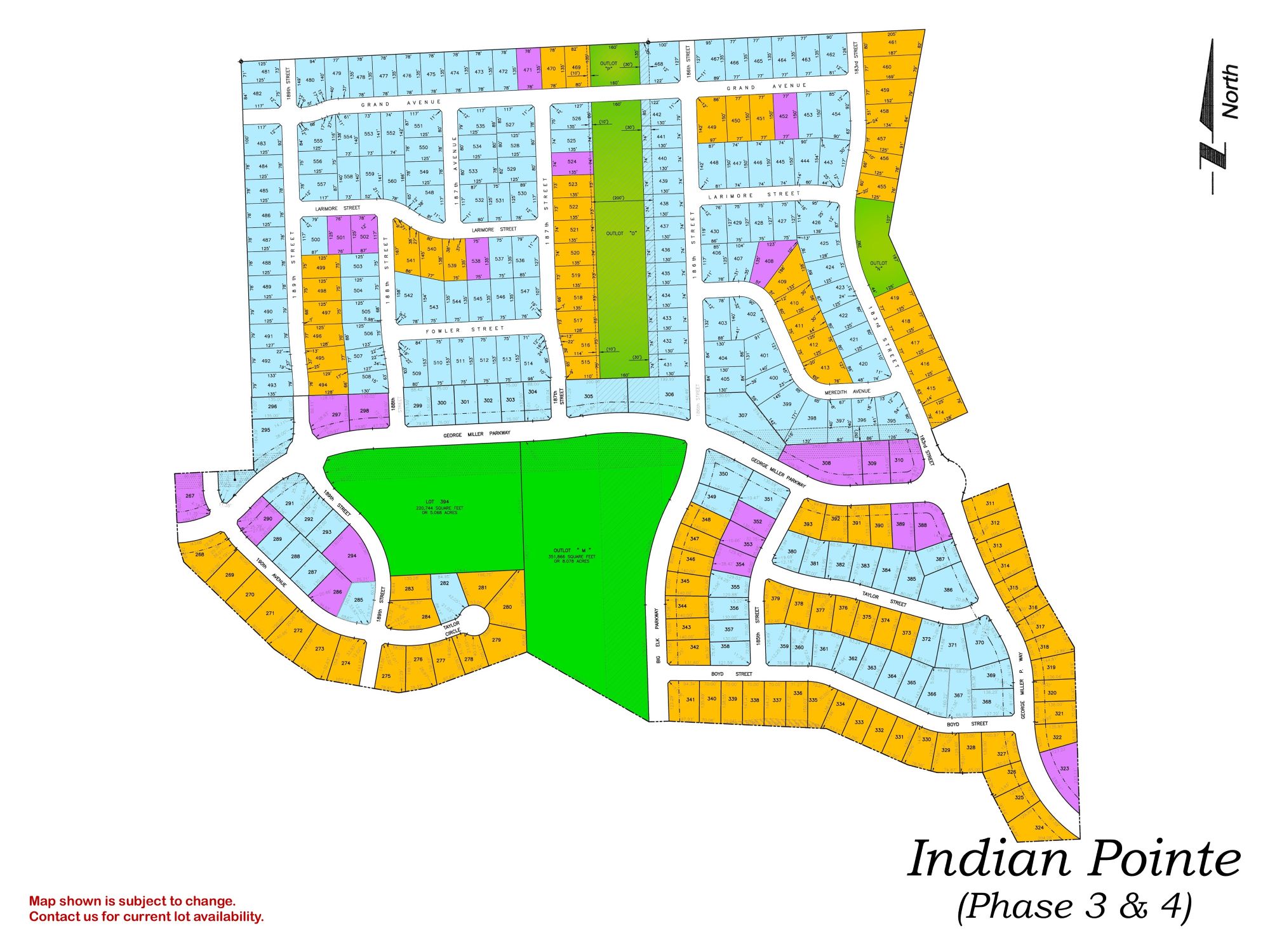
Indian Pointe Phase 3 & 4 residential development map showing street layout and colored lot divisions
Click to enlarge
Falling Water residential community entrance sign with stone base and houses visible in background

Location: 198th & Harrison St

School District: Gretna

Amenities:

  • Close to easy access traffic ways, established neighborhood, close day care centers, and several places of worship.
  • Oversized lots – many 82’ wide lots.
  • Minutes to West Dodge traffic way, the 180th & Center shopping mile, the I-80 interstate system, and to grocery and other shopping services.

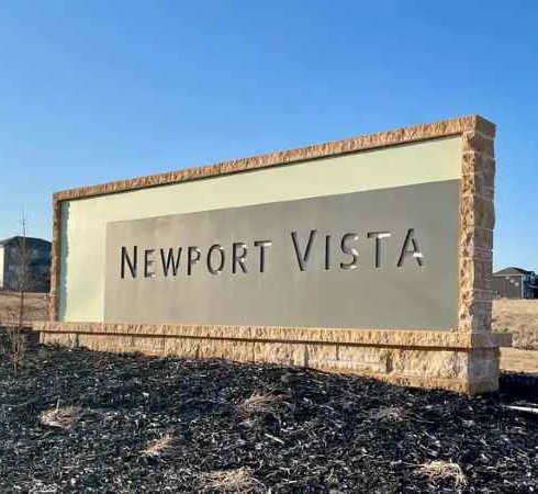
Newport Vista

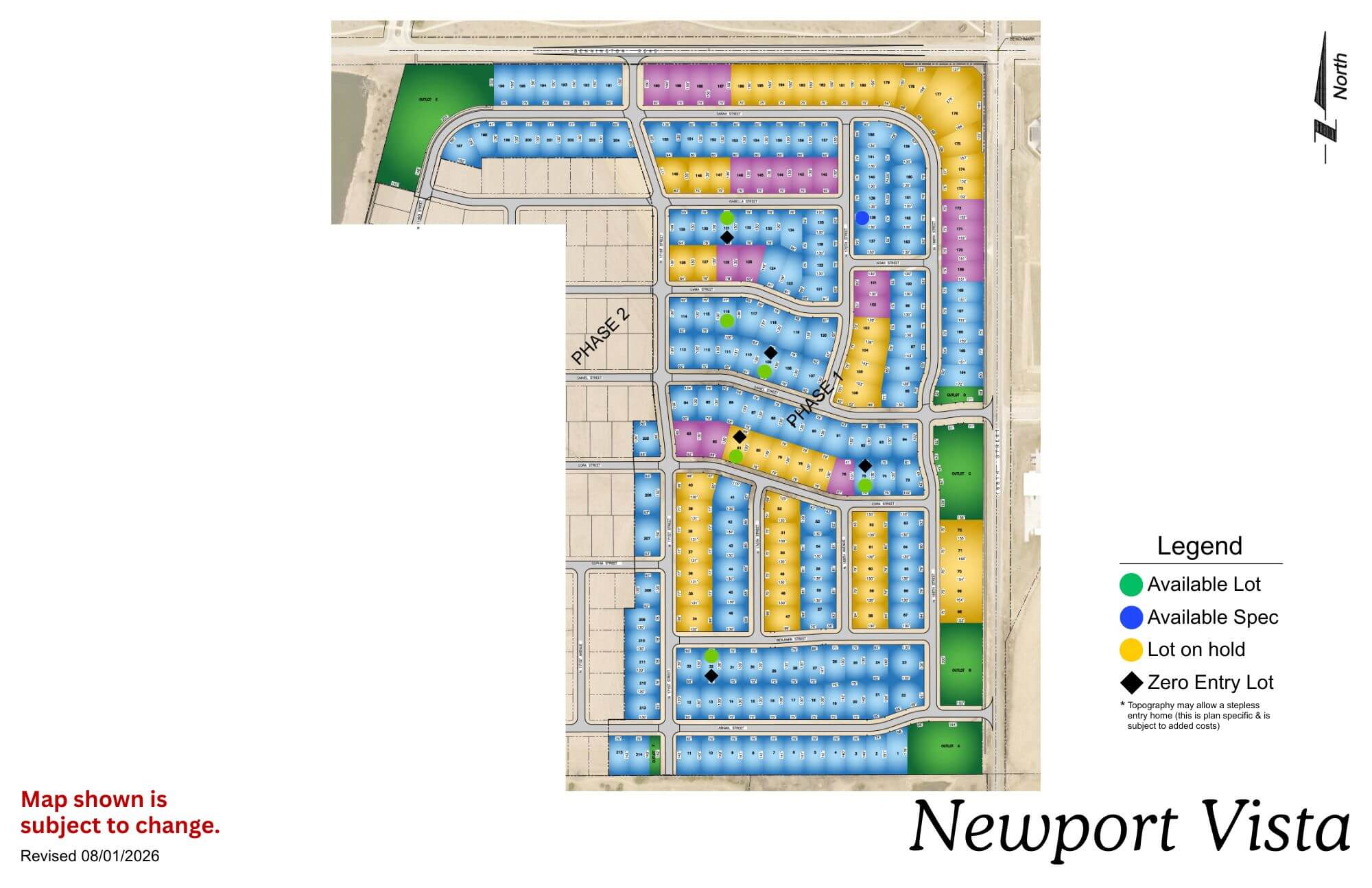
Newport Vista map showing residential streets, lots, and legend with color-coded categories
Click to enlarge
Newport Vista community sign with tan background and brown border against clear blue sky

Location: North 168th Street and Bennington Road

School District: Bennington

Amenities:

  • View lots
  • Bennington school across the street
  • Adjacent to a nature reserve
  • View of Bennington Lake

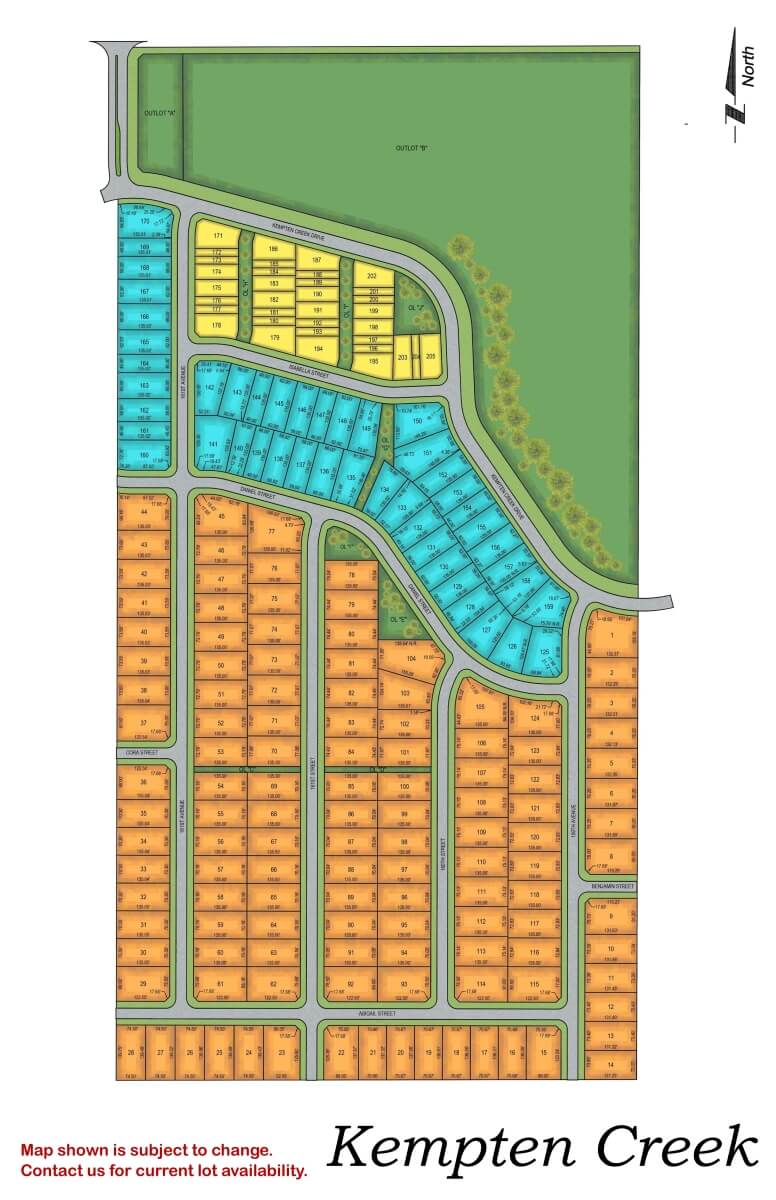
Kempten Creek

Kempten Creek residential subdivision map showing street layout and lot divisions in orange and blue sections
Click to enlarge
Wooden entrance sign for Kempten Creek with stone base and metal frame against rural landscape

Location: 165th Street and Bennington Road

School District: Bennington

Amenities:

  • View lots
  • Adjacent to regional park

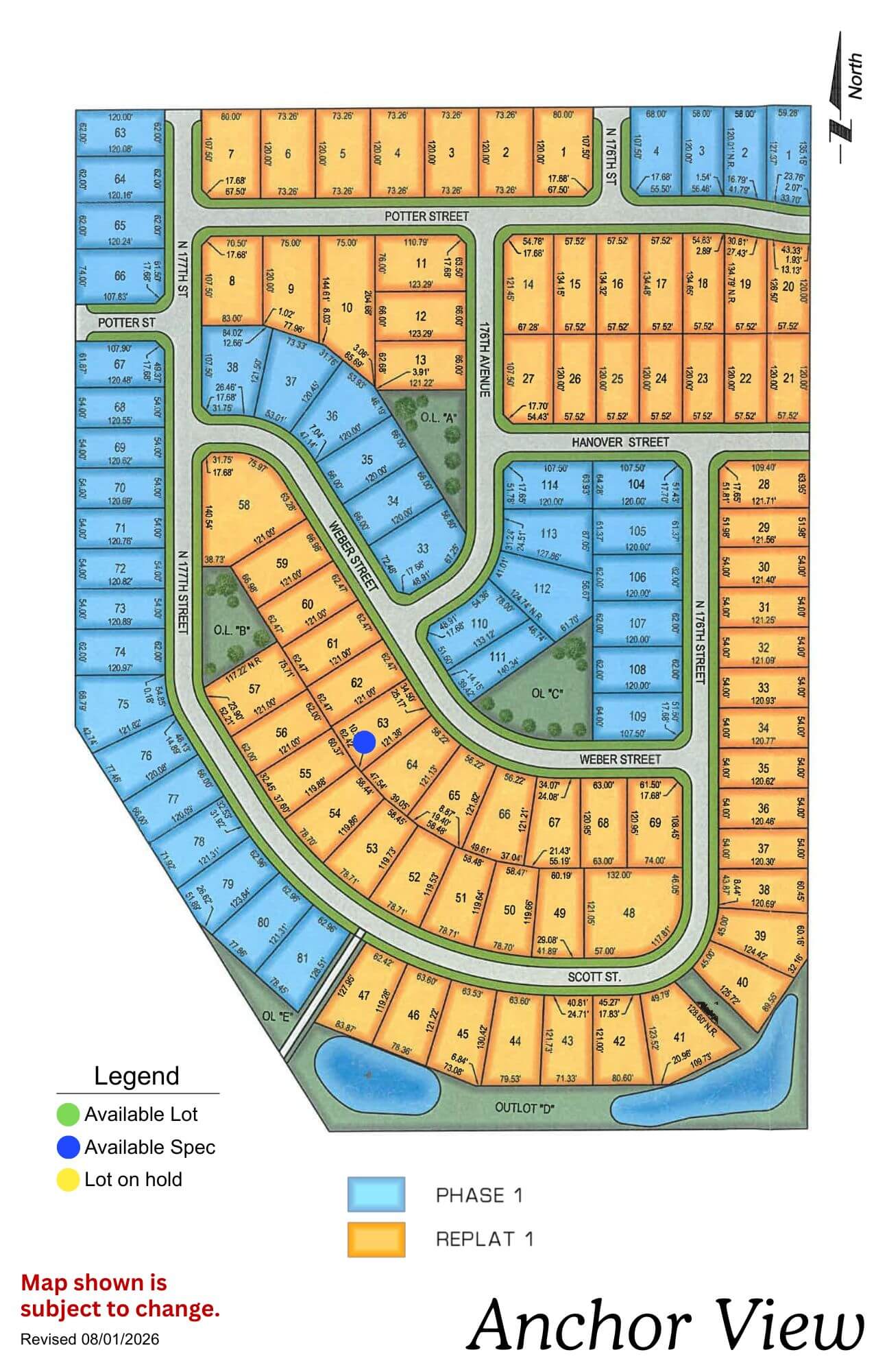
Anchor View

Anchor View residential community map showing lot layouts, streets, and available parcels in yellow and blue sections
Click to enlarge
Anchor View logo with navy anchor and rope design in circle with text below

Location: 3 blocks N of 168th Ida

School District: Elkhorn

Amenities:

  • Overlooks Flanagan Lake, a 220-acre lake with 730 acres of recreation
  • Public access Flanagan Lake as well as facilities for boat access
  • Blocks of walking & biking trails
  • Playgrounds and youth sport fields

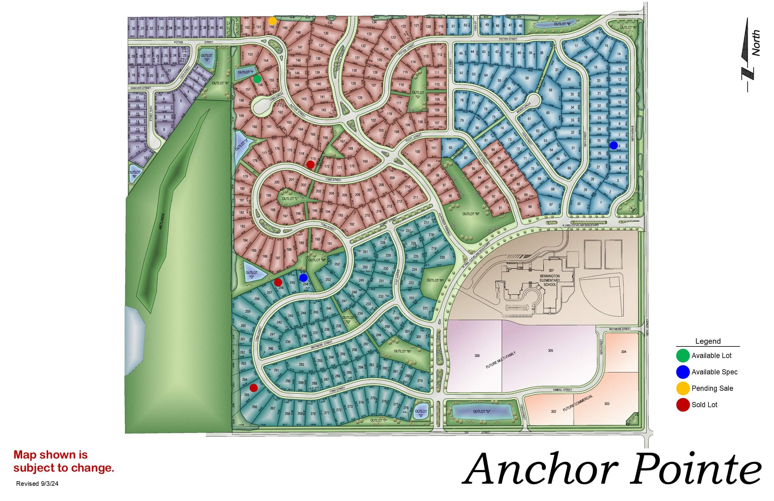
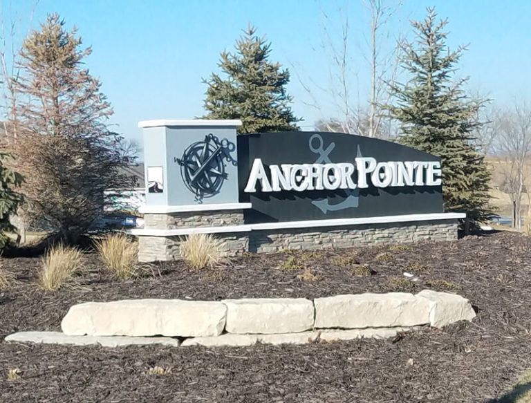
Anchor Pointe

Anchor Pointe development map showing residential streets, green space, and community layout with color-coded zones
Click to enlarge
Anchor Pointe sign with large boulder in front and evergreen trees in background

Location: 198th & Harrison St

School District: Gretna

Amenities:

  • Close to easy access traffic ways, established neighborhood, close day care centers, and several places of worship.
  • Oversized lots – many 82’ wide lots.
  • Minutes to West Dodge traffic way, the 180th & Center shopping mile, the I-80 interstate system, and to grocery and other shopping services.
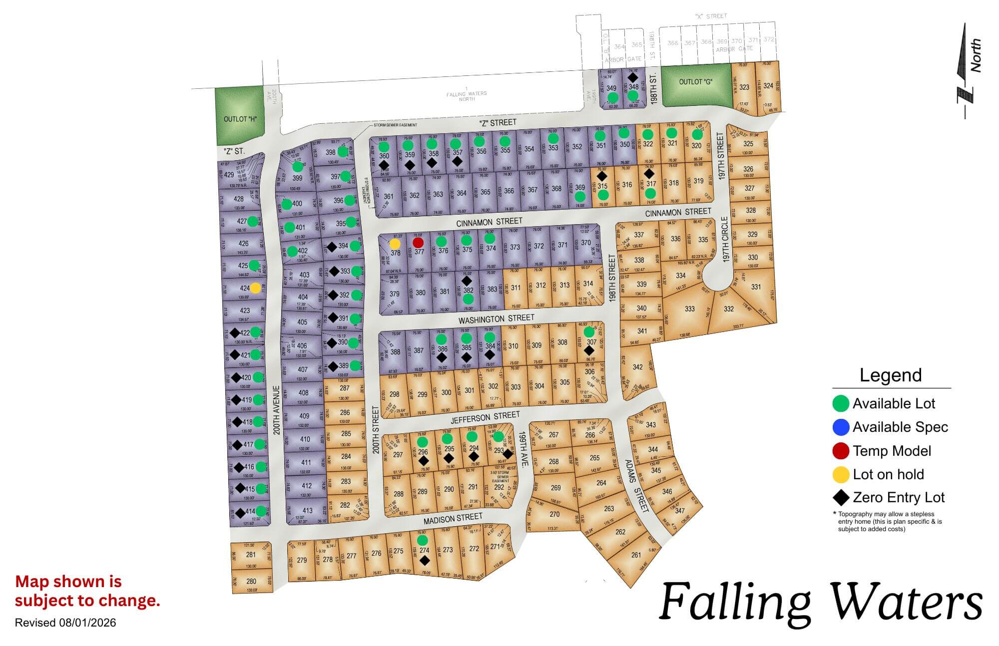
Falling Waters

Falling Waters residential development map showing colored lot sections with legend and street layout
Click to enlarge
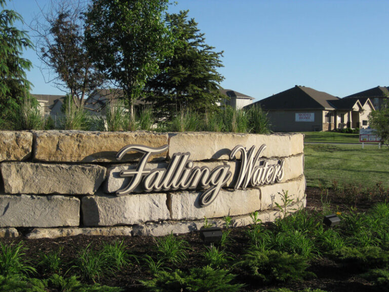
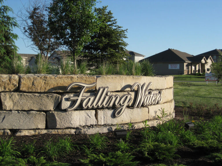
Falling Water subdivision entrance sign with stone base and manicured lawn, residential neighborhood buildings visible in

Location: 198th & Harrison St

School District: Gretna

Amenities:

  • Close to easy access traffic ways, established neighborhood, close day care centers, and several places of worship.
  • Oversized lots – many 82’ wide lots.
  • Minutes to West Dodge traffic way, the 180th & Center shopping mile, the I-80 interstate system, and to grocery and other shopping services.

Avatar
Jamie contacted us to discuss a project
Avatar
Grant has downloaded our Planning Guide
Avatar
Cheryl has downloaded our Planning Guide
Avatar
Joel has downloaded our Planning Guide
Avatar
Brandon has downloaded our Planning Guide
Avatar
Rick contacted us to discuss a project